
Country India Telephone/STD code 03472 Area 246.7 km² Area code 03472 | Time zone IST (UTC+5:30) Elevation 11 m Population 293,040 (2011) | |
 | ||
Weather 26°C, Wind NW at 3 km/h, 41% Humidity | ||
Hanskhali is a community development block that forms an administrative division in Ranaghat subdivision of Nadia district in the Indian state of West Bengal. Hanskhali police station serves this block. Headquarters of this block is at Hanskhali. It is located 13 km from Krishnanagar, the district headquarters.
Contents
Location
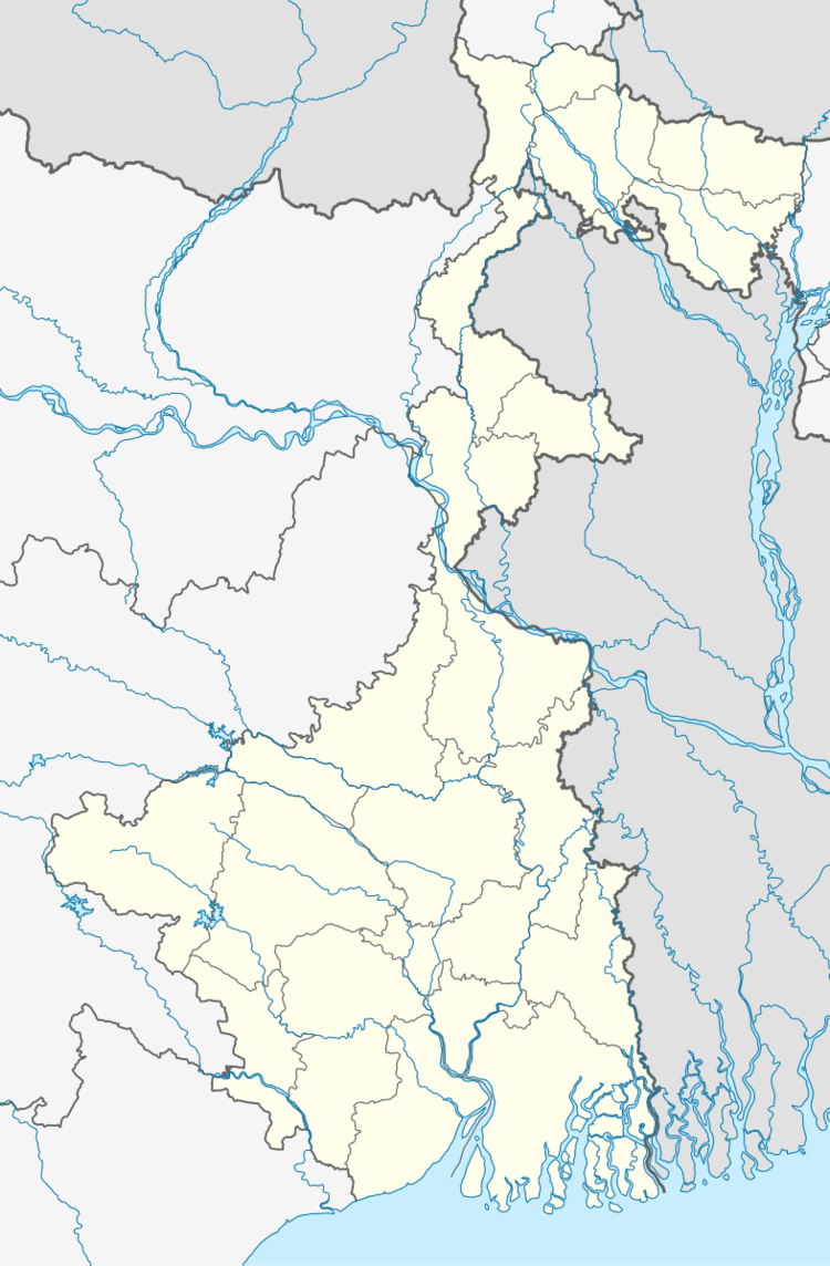
Hanskhali is located at 23°22′04″N 88°37′59″E.
Hanskhali CD Block is bounded by Krishnaganj CD Block in the north, Chaugachha Upazila of Jessore District in Bangladesh in the east, Ranaghat I and Ranaghat II CD Blocks in the south and Krishnanagar I and Santipur CD Blocks in the west.
Area
Hanskhali CD Block has an area of 246.69 km2.
Physical features
Nadia district is mostly alluvial plains lying to the east of Hooghly River, locally known as Bhagirathi. The alluvial plains are cut across by such distributaries as Jalangi, Churni and Ichhamati. With these rivers getting silted up, floods are a recurring feature.
Gram panchayats
Gram panchayats of Hanskhali block/ panchayat samiti are: Bagula I, Bagula II, Badkulla I, Badkulla II, Betna Gobindapur, Dakshinpara I, Dakshinpara II, Gazna, Mamjoan, Mayurhat I, Mayurhat II, Ramnagar Barachupria I and Ramnagar Barachupria II.
Demographics
As per 2011 Census of India Hanskhali CD Block had a total population of 293,040, of which 245,899 were rural and 11,252 were urban. There were 151,645 (52%) males and 141,395 (48%) females. The population below 6 years was 27,997. Scheduled Castes numbered 144,090 and Scheduled Tribes numbered 8,373.
As per 2001 census, Hanskhali block had a total population of 260,916, out of which 133,867 were males and 127,049 were females. Hanskhali block registered a population growth of 20.63 per cent during the 1991-2001 decade. Decadal growth for the district was 19.51 per cent. Decadal growth in West Bengal was 17.84 per cent.
Census towns and large villages
There are three census towns in Hanskhali CD Block (2011 census figures in brackets): Bagula (22,649), Badkulla (18,951) and Patuli (6,441).
Large villages in Hanskhali CD Block were (2011 census figures in brackets): Itabaria (5,952), Betna (5,633), Benali (4,363), Gazna (5,643), Payradanda (9,710), Ber Gram (4,073), Gobindapur (12,300), Dakshinpara (8,336), Jaypur (13,437), Purba Khamar Simulia (5,534), Hanskhali (5,066), Muragachha (12,336), Mamjoani (5,541), Bhayna (7,344), Paschim Harindanga (6,042), Garpota (8,068), Kaikhali (4,333), Bayardengi (4,680), Ulasi (4,866), Chupria (8021), Umarpur (4,872) and Ramnagar (5,235)., Bhairab Chandra pur
Literacy
As per 2011 census the total number of literates in Hanskhali CD Block was 212,314 (80.11% of the population over 6 years) out of which 116,570 (55%) were males and 95,744 (45%) were females.
As per 2011 census, literacy in Nadia district was 74.97. Literacy in West Bengal was 77.08% in 2011. Literacy in India in 2011 was 74.04%.
Language
Bengali is the local language in these areas.
Transportation
The main line of the Eastern Bengal Railway from Sealdah to Ranaghat, was opened in 1862 and extended to Kushtia, now in Bangladesh, the same year. After partition of India in 1947, the main line got truncated and what remained in West Bengal formed the Gede branch line. This line passes through this block and there is a station at Bagula.