
 | ||
People also search for Mount Anderson, Mount Farrell, Mount Tyree | ||
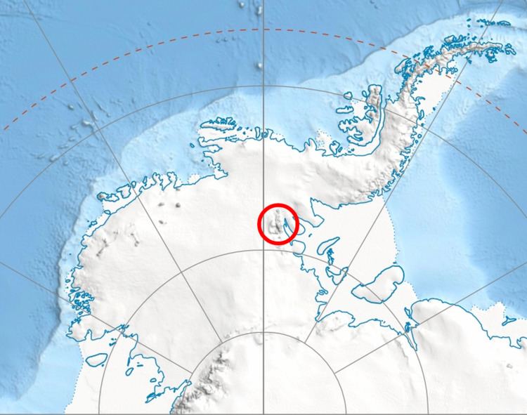
Dickey Peak (78°19′S 84°26′W) is a rocky peak rising to 1504 m in the northwestern part of the Flowers Hills in the Sentinel Range of the Ellsworth Mountains in Antarctica. It overlooks Dater Glacier to the west and Lardeya Ice Piedmont to the east. The feature was first mapped by the United States Geological Survey from surveys and U.S. Navy air photos, 1957–59, and was named by the Advisory Committee on Antarctic Names for Clifford R. Dickey, Jr., an electronics technician at the South Pole Station in 1957.
Contents
Map of Dickey Peak, Antarctica
Maps
References
Dickey Peak Wikipedia(Text) CC BY-SA