
Time zone CST (UTC-6) Elevation 194 m Local time Thursday 1:00 AM | Established November 4, 1856 ZIP codes 61240, 61241, 61254 Area 77.34 km² Population 6,822 (2010) | |
 | ||
Weather 2°C, Wind E at 5 km/h, 55% Humidity | ||
Colona Township is one of twenty-four townships in Henry County, Illinois, USA. As of the 2010 census, its population was 6,822 and it contained 2,773 housing units. Colona Township changed its name from Green River Township on April 13, 1857.
Contents
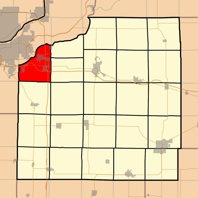
- Map of Colona Township IL USA
- Geography
- Cities towns villages
- Unincorporated towns
- Adjacent townships
- Cemeteries
- Major highways
- School districts
- Political districts
- References
Map of Colona Township, IL, USA
Geography
According to the 2010 census, the township has a total area of 29.86 square miles (77.3 km2), of which 28.94 square miles (75.0 km2) (or 96.92%) is land and 0.93 square miles (2.4 km2) (or 3.11%) is water.
Cities, towns, villages
Unincorporated towns
(This list is based on USGS data and may include former settlements.)
Adjacent townships
Cemeteries
The township contains these three cemeteries: Colona, Dayton and Glenwood.
Major highways
School districts
Political districts
References
Colona Township, Henry County, Illinois Wikipedia(Text) CC BY-SA