
Country United States ZIP code 13783 Elevation 281 m Local time Wednesday 2:41 PM | State New York Time zone Eastern (EST) (UTC-5) Area code(s) 607 Population 3,224 (2010) | |
 | ||
Weather -7°C, Wind W at 26 km/h, 69% Humidity Area 419.1 km² (411.3 km² Land / 7.77 km² Water) | ||
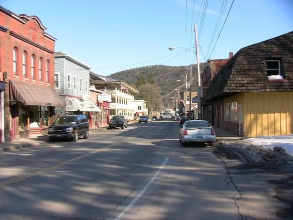
Hancock is a town in Delaware County, New York, United States. The town contains a village, also named Hancock. The town is in the southwest part of the county. The population was 3,224 at the 2010 census.
Contents
- Map of Hancock NY 13783 USA
- History
- Geography
- Demographics
- Notable natives and residents
- Communities and locations in the Town of Hancock
- References
Map of Hancock, NY 13783, USA
History
This town was established in 1806 from part of the town of Colchester. It is named for John Hancock, signer of the Declaration of the Independence.
Geography
The southwest town line, delineated by the Delaware River, is the border of Pennsylvania. The East Branch of the Delaware flows from east to west across the town, joining the West Branch at Hancock village to form the Delaware River proper. Upstream from Hancock village, the town line and state line are formed by the West Branch. NY Route 17 passes through the town, with access from Exits 87 through 90.
According to the United States Census Bureau, the town has a total area of 161.8 square miles (419.1 km2), of which 158.8 square miles (411.3 km2) is land and 3.0 square miles (7.8 km2), or 1.85%, is water.
Demographics
As of the census of 2000, there were 3,449 people, 1,390 households, and 913 families residing in the town. The population density was 21.6 people per square mile (8.4/km²). There were 2,512 housing units at an average density of 15.8 per square mile (6.1/km²). The racial makeup of the town was 96.69% White, 0.70% Black or African American, 0.52% Native American, 0.61% Asian, 0.32% from other races, and 1.16% from two or more races. Hispanic or Latino of any race were 2.38% of the population.
There were 1,390 households out of which 28.6% had children under the age of 18 living with them, 52.3% were married couples living together, 8.1% had a female householder with no husband present, and 34.3% were non-families. 30.1% of all households were made up of individuals and 15.5% had someone living alone who was 65 years of age or older. The average household size was 2.48 and the average family size was 3.01.
In the town, the population was spread out with 24.1% under the age of 18, 5.9% from 18 to 24, 24.1% from 25 to 44, 27.0% from 45 to 64, and 18.9% who were 65 years of age or older. The median age was 42 years. For every 100 females there were 98.4 males. For every 100 females age 18 and over, there were 94.9 males.
The median income for a household in the town was $30,449, and the median income for a family was $37,125. Males had a median income of $28,259 versus $21,875 for females. The per capita income for the town was $16,057. About 8.4% of families and 14.3% of the population were below the poverty line, including 19.3% of those under age 18 and 13.4% of those age 65 or over.