
Country United States FIPS code 36-16793 Elevation 728 m Population 2,077 (2010) Area code 607 | State New York Time zone Eastern (EST) (UTC-5) GNIS feature ID 0978848 Zip code 13856 Local time Wednesday 10:07 AM | |
 | ||
Weather 5°C, Wind W at 19 km/h, 76% Humidity Area 368.3 km² (354.3 km² Land / 13.99 km² Water) | ||
Colchester is a town in Delaware County, New York, United States. The population was 2,077 at the 2010 census. The town is in the southwest part of the county.
Contents
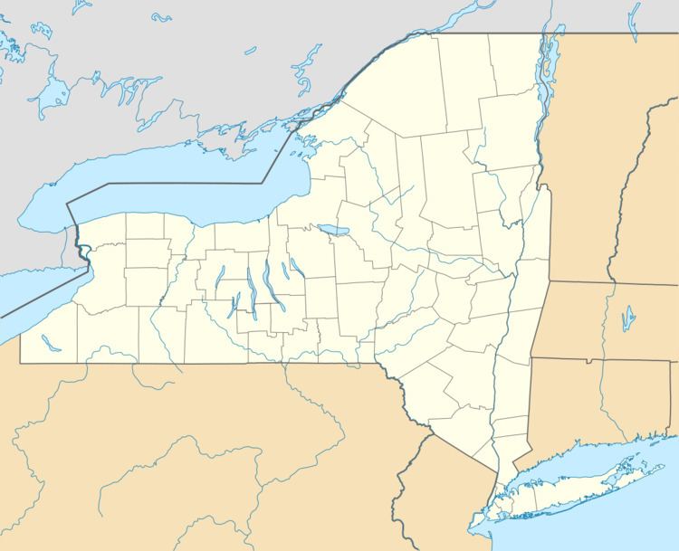
- Map of Colchester NY 13856 USA
- History
- Geography
- Demographics
- Communities and locations in Colchester
- Notable people
- References
Map of Colchester, NY 13856, USA
History
Colchester was formed from part of the town of Middletown in 1792. It was named after Colchester, Connecticut.
Geography
The south town line is the border of Sullivan County.
According to the United States Census Bureau, the town has a total area of 142.2 square miles (368.2 km2), of which 136.8 square miles (354.3 km2) is land and 5.4 square miles (14.0 km2), or 3.80%, is water.
Demographics
As of the census of 2000, there were 2,042 people, 837 households, and 547 families residing in the town. The population density was 14.9 people per square mile (5.7/km²). There were 1,587 housing units at an average density of 11.5 per square mile (4.5/km²). The racial makeup of the town was 98.53% White, 0.34% African American, 0.20% Native American, 0.15% Asian, 0.10% from other races, and 0.69% from two or more races. Hispanic or Latino of any race were 0.78% of the population.
There were 837 households out of which 24.3% had children under the age of 18 living with them, 54.2% were married couples living together, 7.3% had a female householder with no husband present, and 34.6% were non-families. 29.6% of all households were made up of individuals and 15.8% had someone living alone who was 65 years of age or older. The average household size was 2.32 and the average family size was 2.86.
In the town, the population was spread out with 21.0% under the age of 18, 6.1% from 18 to 24, 23.5% from 25 to 44, 26.5% from 45 to 64, and 22.9% who were 65 years of age or older. The median age was 45 years. For every 100 females there were 93.6 males. For every 100 females age 18 and over, there were 92.9 males.
The median income for a household in the town was $32,147, and the median income for a family was $37,895. Males had a median income of $27,143 versus $20,694 for females. The per capita income for the town was $15,636. About 8.5% of families and 12.7% of the population were below the poverty line, including 22.2% of those under age 18 and 7.8% of those age 65 or over.