
Length 25 km | Source Mount Waialeale | |
 | ||
Kayak hanalei river kayaking hanalei bay kauai tours rentals napali coast 2014
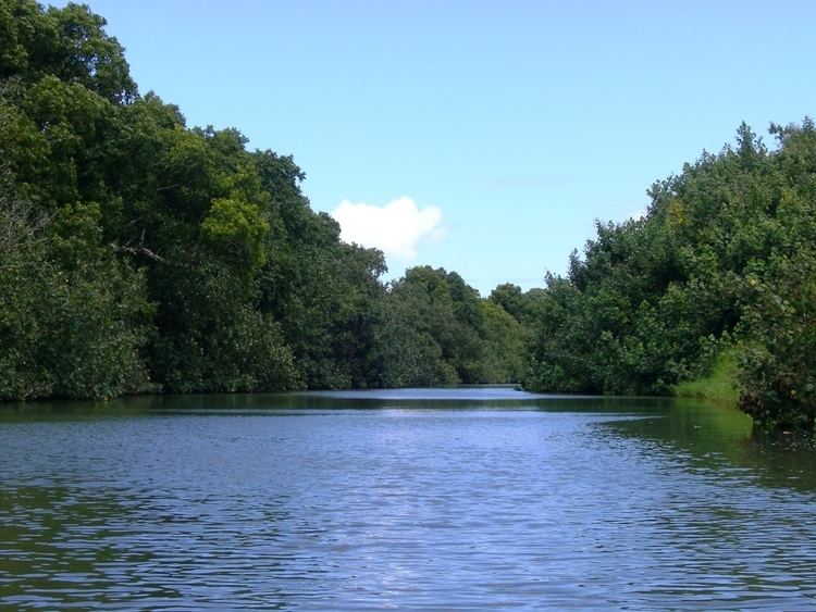
The Hanalei River on the island of Kauaʻi in Hawaii flows north from the eastern slopes of Mount Waiʻaleʻale for 15.7 miles (25.3 km) until it reaches the Pacific Ocean at Hanalei Bay as an estuary. With a long-term mean discharge of 216 cubic feet (6.12 cubic meters) per second, in terms of water flow it is the second-largest river in the state; although its watershed of 19.1 square miles (49 km2) is only sixth-largest on Kauaʻi, it encompasses areas of the highest recorded rainfall on the planet and plunges precipitously from its headwaters at 3,500 feet (1,100 m) above sea level.
Contents
- Kayak hanalei river kayaking hanalei bay kauai tours rentals napali coast 2014
- Map of Hanalei River Princeville HI USA
- References
Map of Hanalei River, Princeville, HI, USA
The lower, flatter portion of the river flows by Hanalei National Wildlife Refuge and many taro farms (60% of Hawaii's taro is grown in this area). The Hanalei River provides habitat for a number of amphidromous species, including gobies (5 native varieties), two native species of crustacean, the hīhīwai (Neritina granosa, an edible snail), and in its upper reaches, a threatened species of highly adapted snail (Newcomb's snail, Erinna newcombi).
The Hanalei was designated an American Heritage River by US President Bill Clinton on July 30, 1998. The major bridge across the river (still one lane) is on Hawaii Route 560, which is listed on the National Register of Historic Places listings in Hawaii.