Quadrant NW Established 1990 Area 250 ha Population 8,175 (2006) | Ward 2 Annexed 1976 Elevation 1,245 m Local time Wednesday 10:32 AM Mayor Naheed Nenshi | |
 | ||
Weather 7°C, Wind SE at 3 km/h, 62% Humidity | ||
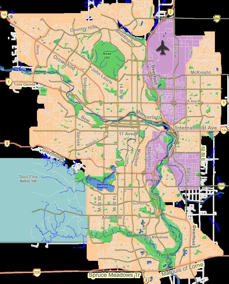
Hamptons is a residential neighbourhood in the north-west quadrant of Calgary, Alberta. It is located close to the northern edge of the city, and is bounded to the north by Stoney Trail, to the east by Shaganappi Trail, to the south by Country Hills Boulevard, and to the west by Sarcee Trail.
Contents
Map of Hamptons, Calgary, AB, Canada
The land was annexed in two stages, the southern area in 1976 and the northern one in 1989. The Hamptons was established as a neighbourhood in 1990. It is represented in the Calgary City Council by the Ward 2 councillor.
The community is home to an Olympic size hockey rink and an annual Stampede breakfast.
Demographics
In the City of Calgary's 2012 municipal census, Hamptons had a population of 7003790500000000000♠7,905 living in 7003247100000000000♠2,471 dwellings, a 0.8% increase from its 2011 population of 7003784300000000000♠7,843. With a land area of 3.5 km2 (1.4 sq mi), it had a population density of 2,260/km2 (5,850/sq mi) in 2012.
Residents in this neighbourhood had a median household income of $125,042 in 2005, and 5.6% of its residents were within low income households. Also as of 2005, 44.9% of the residents were immigrants while, in 2006, 84.6% of occupied private dwellings were single detached homes, and only 2.3% of all occupied private dwellings were rented.
Education
The community is served by the Hamptons School (K-4). Students then move on to Captain John Palliser Elementary(4-6).
Homeowners association
The Hamptons Homeowners Association maintains a community website with access to information on events, recreation, and other information; as well as an archive of the "Your Hamptons" newsletter in PDF format.
