Country Algeria Elevation 744 m (2,441 ft) Local time Wednesday 2:56 PM | Time zone CET (UTC+1) | |
 | ||
Weather 22°C, Wind N at 6 km/h, 19% Humidity | ||
Hammaguir (also written Hamaguir) is a village in Abadla District, Béchar Province, Algeria, south-west of Béchar. It lies on the N50 national highway between Béchar and Tindouf. The location is notable for its role in French rocketry.
Contents
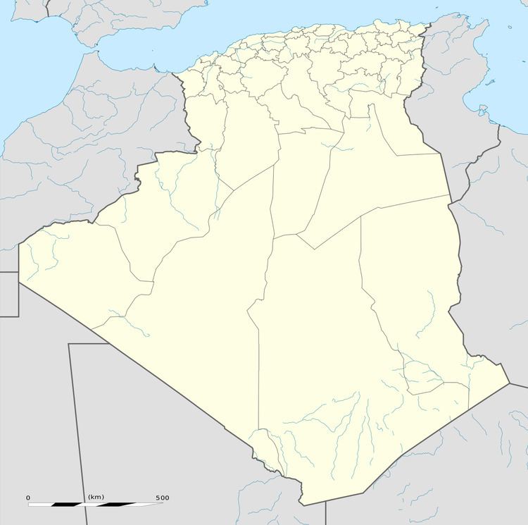
Map of Hamaguir, Algeria
Hamaguir Airport is located here.
Role in French rocketry and spaceflight
Between 1947 and 1967 there was a rocket launch site near Hammaguir, used by France for launching sounding rockets and the satellite carrier "Diamant" between 1965 and 1967.
The first French satellite Astérix was launched from there in 1965.
Far later, its name was given to an asteroid crater.
Climate
Hammaguir has a hot desert climate, with extremely hot summers and cool winters, and very little precipitation throughout the year.
References
Hammaguir Wikipedia(Text) CC BY-SA
