
Municipality ID NO-1645 Local time Wednesday 9:49 AM | Adm. Center Haltdalen Area 509 km² | |
 | ||
Created as Formannskapsdistrikt in 1838 Weather 2°C, Wind W at 24 km/h, 80% Humidity | ||
Haltdalen is a village and former municipality in Sør-Trøndelag county, Norway. The former municipality encompassed the northwestern part of the present-day municipality of Holtålen.
Contents
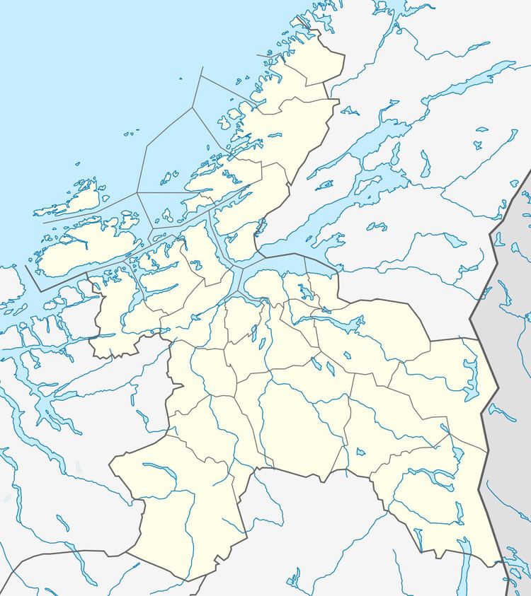
Map of 7383 Haltdalen, Norway
The village of Haltdalen has approximately 600 inhabitants (2004). It is situated along the Rørosbanen railway line connecting Røros and Støren. The Gaula River runs through the village. The villages of Ålen and Renbygda lie about 15 kilometres (9.3 mi) to the southeast and Aunegrenda lies about 7 kilometres (4.3 mi) to the northeast.
Haltdalen is known for the old Haltdalen Stave Church that was built in the 12th century. The original can be seen at the Sverresborg Museum in Trondheim. A copy was built in 2003/2004 in the neighbourhood of the present Haltdalen Church. A replica of the Haltdalen stave church was also given as a gift to Iceland.
History
The municipality of Holtaalen was established on 1 January 1838 (see formannskapsdistrikt). In 1841, the western part of the municipality was separated to become the municipality of Singsås. This left Holtaalen with 1,885 residents. Then in 1855, the southeastern part of Holtaalen was separated to become the municipality of Ålen, leaving Holtaalen with 809 residents. The spelling of the name was later changed to Holtålen. In 1937, the name was changed from Holtålen to Haltdalen. On 1 January 1972, the municipality of Haltdalen was merged with Ålen to form the new municipality of Holtålen. Prior to the merger, Haltdalen had 778 residents.