Time zone IST (UTC+5:30) Elevation 559 m Local time Wednesday 10:13 AM | Taluka Haliyal 581329 581329 Population 20,652 (2001) | |
 | ||
Weather 28°C, Wind SE at 5 km/h, 52% Humidity Neighborhoods Janata Colony, Indira Nagar, Siddrameshwara Galli, Anegundi Colony, Karnataka Housing Board Colony | ||
Haliyal is a Panchayat town in Uttara Kannada in the Indian state of Karnataka. It is the headquarters town for Haliyal Taluka. It can be classified as a main-road town. The NH-63.
Contents
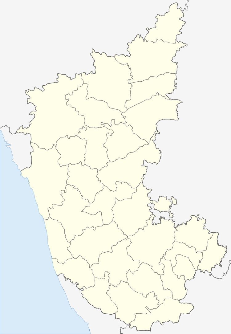
Map of Haliyal, Karnataka 581329
Geography
Haliyal has an average elevation of 559 metres (1834 feet).
Places to see
Food
Demographics
In the 2001 Indian census, Haliyal had a population of 20,652. Males constituted 51% of the population. Haliyal had an average literacy rate of 66%, higher than the national average (59.5%); male literacy was 72%, and female literacy was 60%. In 2001 in Haliyal, 13% of the population was under 6 years of age. Kannada is the main language spoken in the city along with marathi, urdu.
Media
References
Haliyal Wikipedia(Text) CC BY-SA
