
Country United States GNIS feature ID 457200 Local time Tuesday 8:31 PM | Time zone Central (CST) (UTC-6) Elevation 243 m Area code 319 | |
 | ||
Weather -9°C, Wind NW at 10 km/h, 60% Humidity | ||
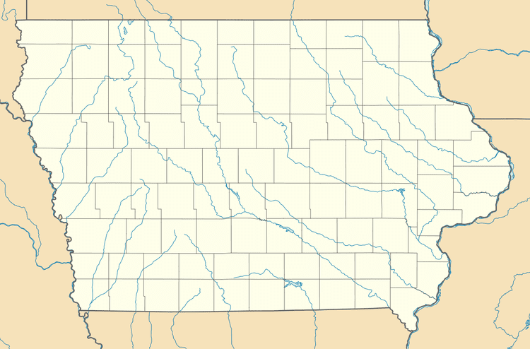
Hale is an unincorporated community in Jones County, Iowa, United States. Hale is north of the Wapsipinicon River, east of Olin, and west of Oxford Junction.
Contents
Map of Hale, IA 52362, USA
History
Hale was platted in 1876 by J. C. Austin.
References
Hale, Iowa Wikipedia(Text) CC BY-SA