
Country United States Area 128 ha Zip code 55417 | Time zone CST (UTC-6) Population 3,176 (2010) Area code 612 | |
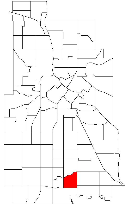 | ||
Hale is a neighborhood (within the larger Nokomis community) near the southern edge of Minneapolis. It lies south of Minnehaha Creek, north of 55th Street, east of Chicago Avenue, and west of Cedar Avenue. The neighborhood takes its name from the local public school, Nathan Hale. Nathan Hale is a K-4 school. Most of the homes in the area were built in the 1920s and 30's. The regional parks forming the neighborhood's north and east borders give the neighborhood a recreational heart.
Map of Hale, Minneapolis, MN 55417, USA
Hale is one of three neighborhoods that banded together to form HPDL.
References
Hale, Minneapolis Wikipedia(Text) CC BY-SA