
Elevation 3 m (10 ft) Postcode 4730–4754 Area 75.24 km² Local time Wednesday 2:09 AM | Established 1 January 1997 Time zone CET (UTC+1) Website www.halderberge.nl Area code 0165 | |
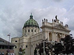 | ||
Weather 9°C, Wind SW at 11 km/h, 91% Humidity Points of interest Botanical Garden Arboretu, Oudenbosch Basilica, Basilica of Saints Agatha a, Nederlands Zouavenmuseum, Vliegend Museum Seppe | ||
Halderberge ( pronunciation ) is a municipality in the southern Netherlands.
Contents
Map of Halderberge, Netherlands
Population centres
Dutch Topographic map of the municipality of Halderberge, June 2015
Transportation
Railway Dordrecht to Roosendaal (part of line 11), with stations and official station abbreviations:
Twin towns — Sister cities
Halderberge is twinned with:
References
Halderberge Wikipedia(Text) CC BY-SA