
Elevation 685 m | Mountain range Thuringian Forest | |
 | ||
Similar Rauhhügel, Wetzstein, Großer Beerberg | ||
The Hahnberg is a 685.3 m high (above sea level) slightly undulatory tableland located in the Thuringian Highland, Thuringia (Germany).
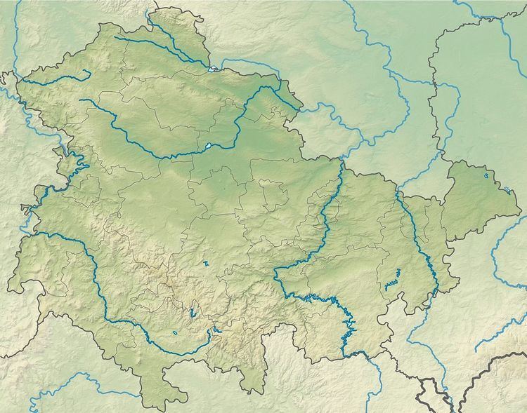
Map of Hahnberg, 98739 Lichte, Germany
It is located close to the municipality of Lichte and the Leibis-Lichte Dam in the Saalfeld-Rudolstadt district in the Thuringian Forest Nature Park. The section of the Rennsteig walkway between Neuhaus am Rennweg, Piesau, and Spechtsbrunn runs close to the Hahnberg plateau.
References
Hahnberg (Thuringian Highland) Wikipedia(Text) CC BY-SA