
OS grid SP890089 Elevation 267 m Parent peak Cleeve Hill | Topo map OS Landranger 165 Prominence 180 m Listing Marilyn | |
 | ||
Similar Pavis Wood, Ivinghoe Beacon, Betsom's Hill, Ebrington Hill, Arbury Hill | ||
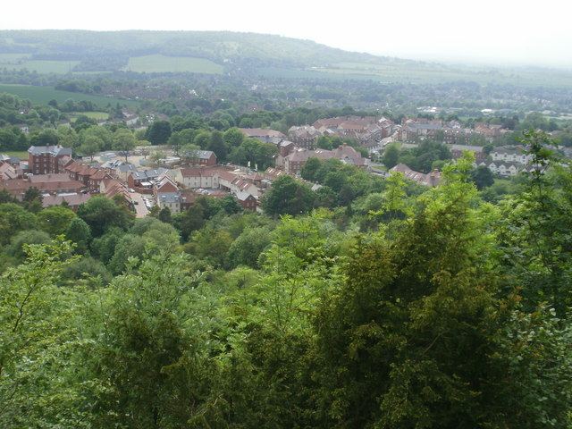
Haddington Hill (also called Wendover Hill) is a hill in The Chilterns, and the highest point in the English county of Buckinghamshire. On the north-eastern flank is Coombe Hill, not to be confused with another Coombe Hill 4 kilometres to the south-west.
Contents
Map of Wendover Woods, Tring, UK
Haddington Hill is owned by the Forestry Commission, whose Wendover Woods cover much of the hill. Many tracks run through the forest, and a car park is located near the summit among the trees: the flat summit means the precise location of the highest point is difficult to determine with certainty. However, in the woods to the east of the car park there is a large stone bearing the inscription 'Highest Point of the Chiltern Hills'. The stone is surrounded by trees.
Ascents
The peak is accessible by road, with a car park near the stone. It is also possible to climb on foot.
Pavis Wood
The highest point of Hertfordshire, at 244 metres (801 ft), is on the eastern ridge of this hill.