
Sovereign state United Kingdom Dialling code 01708 | Postcode district RM14 | |
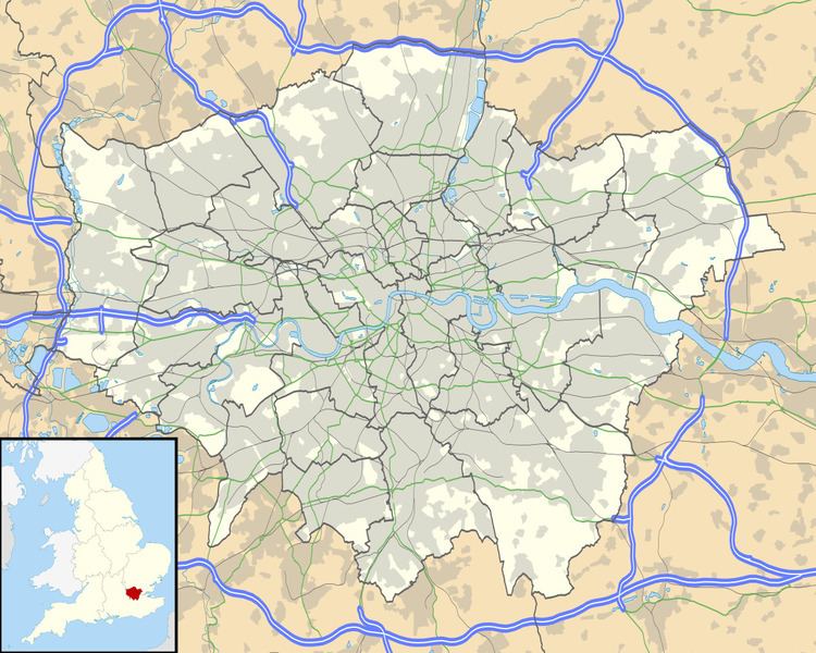 | ||
Hacton is a small dispersed settlement surrounded by the Metropolitan Green Belt, located between the suburbs of Upminster and Rainham in the London Borough of Havering in London, England. It was historically a hamlet in the ancient parish of Upminster and is within the Upminster post town. The name means 'farmstead on a hook-shaped piece of land', referring to an area adjacent to the River Ingrebourne. The Hacton ward of Havering had a population of 12,262 at the 2011 Census.
Map of Hacton, Upminster, UK
References
Hacton Wikipedia(Text) CC BY-SA