 | ||
The Hachiroungou Important Bird Area lies in the north-west of the French island territory of Mayotte in the Comoro Islands, lying at the northern end of the Mozambique Channel between the East African country of Mozambique and Madagascar. The nearest towns are Dzoumonyé to the east, and Mtsamboro and Acoua to the west.
Contents
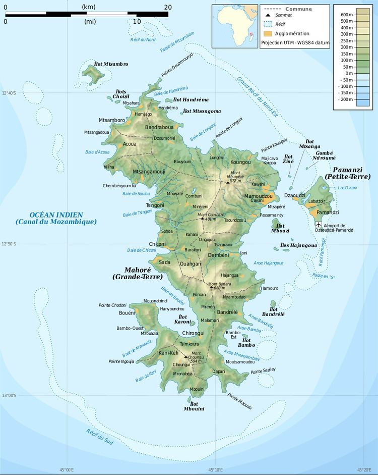
Map of Hachiroungou, Mayotte
Description
The Important Bird Area (IBA) is a 160 ha tract of land comprising much of the massif dominated by the 496 m Mount Hachiroungou. The slopes of the mountain rise steeply to a triangular summit. From the peak, ridges extend to the north, east and south, forming the Dzoumonyé catchment’s watershed. The IBA includes the upper slopes of Hachiroungou, which support mixed montane forest, the southern and eastern ridges, and the Mapouéra valley between them. The partly forested slopes of the valley are steep and dissected with streams. The northern ridge (towards the 472 m peak of Mlima Dziani Bolé) is deforested and excluded from the IBA. The massif is surrounded by cultivation and padza (areas of heavily degraded, largely devegetated and agriculturally useless laterite soils caused by former overuse of the land).
Fauna
The IBA was identified as such by BirdLife International because it supports populations of Comoro olive-pigeons, Comoro blue-pigeons, Mayotte drongos, Mayotte white-eyes and Mayotte sunbirds. It is also home to Robert Mertens' day geckos, island day geckos and Pasteur's day geckos.
