
Elevation 0 m (0 ft) Postcode 1165, 2064–2065 Area 21.08 km² | Established 8 September 1857 Time zone CET (UTC+1) Website www.haarlemmerliede.nl Local time Tuesday 10:32 AM Area code 020 | |
 | ||
Weather 11°C, Wind SW at 21 km/h, 85% Humidity | ||
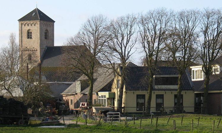
Haarlemmerliede en Spaarnwoude [ˌɦaːrlɛmərˈlidə ɛn ˌspaːrnˈʋʌudə] is a municipality in the Netherlands, in the province of North Holland.
Contents
- Map of Haarlemmerliede en Spaarnwoude Netherlands
- Population centres
- History
- Local government
- References
Map of Haarlemmerliede en Spaarnwoude, Netherlands
Population centres
The municipality of Haarlemmerliede en Spaarnwoude consists of the following cities, towns, villages and/or districts: Haarlemmerliede, Halfweg, Penningsveer, Spaarndam (partly), Spaarnwoude, Vinkebrug.
Dutch topographic map of the municipality of Haarlemmerliede en Spaarnwoude, June 2015
History
The municipality was formed on 8 September 1857, through the merger of the former municipalities of Haarlemmerliede and Spaarnwoude.
On 22 September 1863, Houtrijk en Polanen and Zuidschalkwijk were added to the municipality, of which Zuidschalkwijk was subsequently annexed by the city of Haarlem.
During the construction of the North Sea Canal (completed 1867), large portions of the IJ Bay were enclosed with dikes and made into polders, thereby enlarging the area of the municipality significantly. On the other hand, Haarlemmerliede en Spaarnwoude lost large areas to the cities of Haarlem and Amsterdam in 1927, 1963, and 1970.
Local government
The municipal council of Haarlemmerliede en Spaarnwoude consists of 11 seats, which are divided as follows: