
Country Vietnam Capital Hữu Lũng Area 805 km² Province Lang Son Province | Region Northeast Time zone UTC + 7 (UTC+7) Local time Saturday 11:57 PM | |
 | ||
Weather 22°C, Wind E at 10 km/h, 99% Humidity | ||
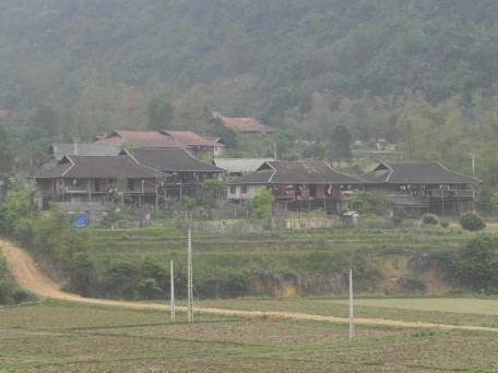
Hữu Lũng is a rural district of Lạng Sơn Province in the Northeast region of Vietnam.
Contents
Map of H%E1%BB%AFu L%C5%A9ng District, L%E1%BA%A1ng S%C6%A1n, Vietnam
Administration subdivisions
- Commune of Hòa Thắng
- Commune of Minh Hòa
- Commune of Minh Sơn
- Commune of Sơn Hà
- Commune of Hồ Sơn
- Commune of Tân Thành
- Commune of Hòa Sơn
- Commune of Hòa Lạc
- Commune of Yên Sơn
- Commune of Cai Kinh
- Commune of Đồng Tân
- Commune of Nhật Tiến
- Commune of Minh Tiến
- Commune of Đô Lương
- Commune of Vân Nham
- Commune of Đồng Tiến
- Commune of Thanh Sơn
- Commune of Thiện Ky
- Commune of Tân Lập
- Commune of Quyết Thắng
- Commune of Yên Bình
- Commune of Hòa Bình
- Commune of Yên Vượng
- Commune of Yên Thịnh
- Commune of Hữu Liên
- Hữu Lũng Township
As of 2003 the district had a population of 114,638 . The district covers an area of 805 km². The district capital lies at Hữu Lũng.
References
Hữu Lũng District Wikipedia(Text) CC BY-SA