
District Bülach Elevation 390 m Local time Saturday 4:23 PM | Canton Zurich SFOS number 0061 Population 971 (31 Dec 2008) Postal code 8194 | |
 | ||
Website www.huentwangen.ch SFSO statistics Weather 8°C, Wind SW at 21 km/h, 88% Humidity | ||
We love holi festival of colour z rich unofficial aftermovie 2013 amphitheater h ntwangen
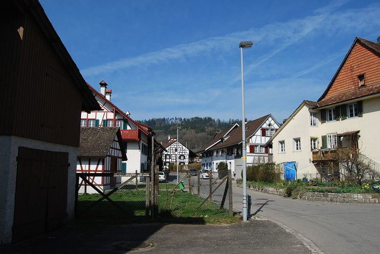
Hüntwangen is a municipality in the district of Bülach in the canton of Zürich in Switzerland.
Contents
- We love holi festival of colour z rich unofficial aftermovie 2013 amphitheater h ntwangen
- Map of HC3BCntwangen Switzerland
- Holi festival of colours 2015 h ntwangen
- History
- Geography
- Demographics
- Transport
- References
Map of H%C3%BCntwangen, Switzerland
Holi festival of colours 2015 h ntwangen
History
Hüntwangen is first mentioned in 1254 as Hiuntwangin.
Geography
Hüntwangen has an area of 4.9 km2 (1.9 sq mi). Of this area, 50.9% is used for agricultural purposes, while 32.9% is forested. Of the rest of the land, 13.6% is settled (buildings or roads) and the remainder (2.6%) is non-productive (rivers, glaciers or mountains).
The municipality is located on the western edge of the Rafzerfeld, the region in the district which is north of the Rhine.
Demographics
Hüntwangen has a population (as of 31 December 2015) of 1,013. As of 2007, 7.4% of the population was made up of foreign nationals. Over the last 10 years the population has grown at a rate of 22.9%. Most of the population (as of 2000) speaks German (96.8%), with Italian being second most common ( 0.8%) and French being third ( 0.5%).
In the 2007 election the most popular party was the SVP which received 42.8% of the vote. The next three most popular parties were the SPS (17%), the FDP (11.2%) and the Green Party (8.9%).
The age distribution of the population (as of 2000) is children and teenagers (0–19 years old) make up 24.3% of the population, while adults (20–64 years old) make up 63.2% and seniors (over 64 years old) make up 12.5%. In Hüntwangen about 85.5% of the population (between age 25-64) have completed either non-mandatory upper secondary education or additional higher education (either university or a Fachhochschule).
Hüntwangen has an unemployment rate of 1.61%. As of 2005, there were 34 people employed in the primary economic sector and about 13 businesses involved in this sector. 65 people are employed in the secondary sector and there are 8 businesses in this sector. 92 people are employed in the tertiary sector, with 26 businesses in this sector.
The historical population is given in the following table:
Transport
Hüntwangen-Wil railway station is a stop of the Zürich S-Bahn on the lines S5 and S22. It is a 33-minute ride from Zürich Hauptbahnhof.