
Isolation 37.3 metres (122 ft) Topo map 1517 II Øye Prominence 793 m | Elevation 1,920 m | |
 | ||
Similar Folarskardnuten, Harahorn, Storehorn, Suletinden, Blåbergi | ||
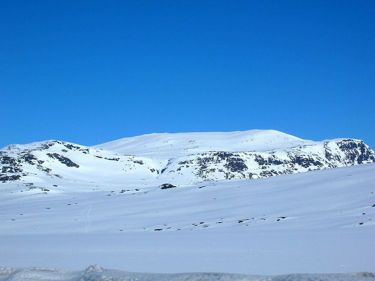
Høgeloft is a mountain on the border between the municipalities of Lærdal (in Sogn og Fjordane county) and Hemsedal (in Buskerud county), Norway. At 1,920 metres (6,300 ft) above sea level, it is the highest mountain in the Filefjell mountain range. Høgeloft one of the mountains in the Hemsedal Top 20 group.
Map of H%C3%B8geloft, 6888 Borgund, Norway
Høgeloft is located about 22 kilometres (14 mi) east of the village of Borgund in Lærdal, not far from the European route E16 highway and the old Filefjell Kongevegen road. The lake Juklevatnet lies at the southern base of the mountain and the lake Eldrevatnet lies 5 kilometres (3.1 mi) to the southwest of the mountain.
References
Høgeloft Wikipedia(Text) CC BY-SA