
- summer (DST) CEST (UTC+2) Area 13.79 km² Team TJ Háj ve Slezsku | Elevation 233 m Local time Saturday 10:57 AM | |
 | ||
Weather 6°C, Wind SW at 27 km/h, 79% Humidity | ||
Nehoda h j ve slezsku 1987 wmv
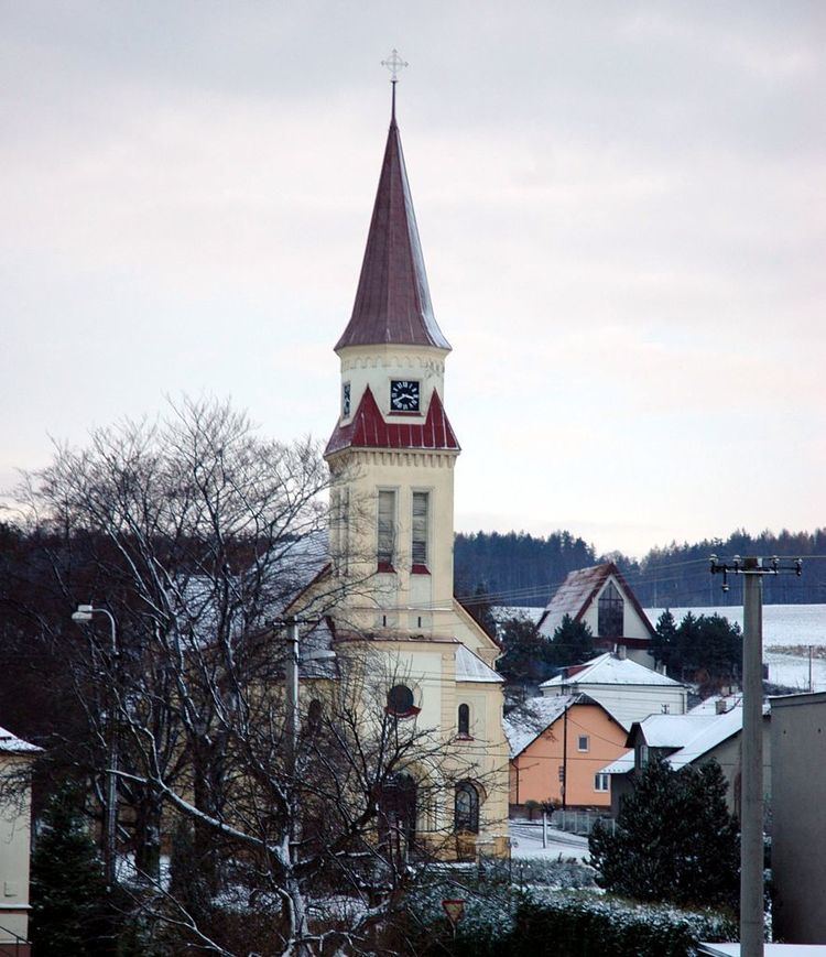
Háj ve Slezsku ( [ˈɦaːj ˈvɛslɛsku]), meaning grove in the Silesia, is a village between Opava and Ostrava – the two larger cities in the Moravian-Silesian Region, Czech Republic. It has 3,317 citizens: 1,704 women; 1,613 men. The town has only 972 households.
Contents
- Nehoda h j ve slezsku 1987 wmv
- Map of 747 92 HC3A1j ve Slezsku Czechia
- Dji h j ve slezsku
- History
- Trivia
- References
Map of 747 92 H%C3%A1j ve Slezsku, Czechia
Dji h j ve slezsku
History
The village was built in about 1880 in the Chabičov-town land register, and it was considered its administrative part until 1922. By the unification Chabičov and another town called Smolkov, Háj ve Slezsku officially became an independent town, and the four towns became administrative parts. Jilešovice and Lhota u Opavy were connected in 1976 and 1979, respectively.
Trivia
References
Háj ve Slezsku Wikipedia(Text) CC BY-SA