
Etymology Gypsia Basin area 253.8 km² Country United Kingdom | Length 41 km | |
 | ||
Main source Duggleby114 metres (374 ft) Basin size 265.5 square kilometres (102.5 sq mi) | ||
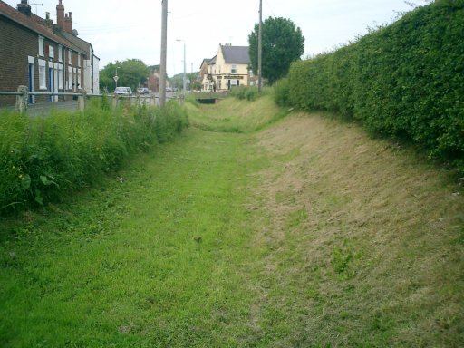
The Gypsey Race is a winterbourne stream that runs through the villages of West Lutton, East Lutton, Helperthorpe, Weaverthorpe, Butterwick, Foxholes, Wold Newton, Burton Fleming, Rudston and Boynton. The stream flows into the North Sea in Bridlington harbour. It is the most northerly of the Yorkshire chalk streams.
Map of Gypsey race, United Kingdom
The Gypsey Race rises in the Great Wold Valley through a series of springs and flows intermittently between Duggleby and West Lutton where it runs underground in the chalk aquifer before re-surfacing in Rudston. It has been known during very wet conditions for the stream to re-appear at Wold Newton some 4.3 miles (7 km) north west of Rudston. Water from the aquifer running between West Lutton and Wold Newton also heads south to re-appear at Elmswell feeding West Beck and the River Hull.
According to folklore, when the Gypsey Race is flowing in flood (The Woe Waters), bad fortune is at hand. It was in flood in the year before the great plague of 1664, the restoration of Charles II (1660) and the landing of William of Orange (1688), before the two world wars and the bad winters of 1947 and 1962.
The stream also badly flooded the village of Burton Fleming in 2012 when the water was 2 feet (0.61 m) deep in places.
Villagers in Boynton have an annual duck race on the stream in May. Hundreds of yellow plastic ducks are paid for and race the Race in aid of funds for the village hall.