
OS grid reference SE941696 Sovereign state United Kingdom Postcode district YO17 | Post town MALTON | |
 | ||
Region | ||
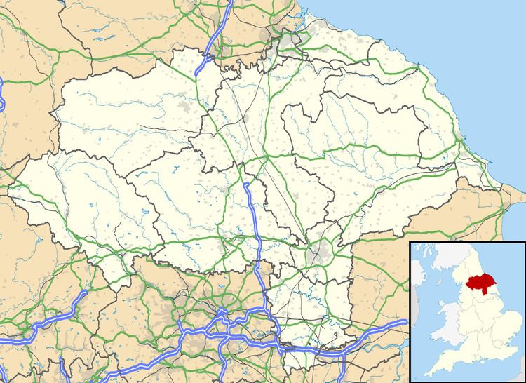
East Lutton is a hamlet in the Ryedale district of North Yorkshire, England. It is situated approximately 9 miles (14 km) east from Malton, and within the Yorkshire Wolds. The village of West Lutton is 0.5 miles (0.8 km) to the west.
Map of East Lutton, Malton, UK
East Lutton forms part of the civil parish of Luttons.
In 1823 East Lutton was in the parish of Weaverthorpe, the Wapentake of Buckrose, and the Liberty of St Peter's in the East Riding of Yorkshire. Population, including West Lutton was 311. East Lutton occupations included four farmers, a grocer & draper, a tailor, a shoemaker, and a corn miller.
References
East Lutton Wikipedia(Text) CC BY-SA