
Population 430 (2011 census) Civil parish Burton Fleming Local time Tuesday 10:28 AM | OS grid reference TA083722 Dialling code 01262 | |
 | ||
Weather 8°C, Wind W at 13 km/h, 69% Humidity | ||
Burton fleming flooding 29th december 2012
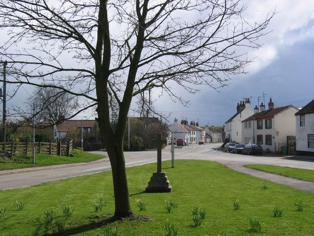
Burton Fleming is a village and civil parish in the East Riding of Yorkshire, England. It lies close to the border with North Yorkshire. The village is situated approximately 7 miles (11 km) north-west of Bridlington and 6 miles (10 km) south of Filey.
Contents
- Burton fleming flooding 29th december 2012
- Map of Burton Fleming Driffield UK
- Uk flooding burton fleming in yorkshire underwater
- References
Map of Burton Fleming, Driffield, UK
Burton Fleming was earlier known as North Burton.
According to the 2011 UK census, Burton Fleming parish had a population of 430, an increase on the 2001 UK census figure of 363.
The village is noted for the house where Queen Henrietta Maria was sent into hiding during the English Civil War. A significant British Iron Age cemetery—Burton Fleming archaeological site—consisting of 64 barrows forming part of the Arras Culture of the East Riding of Yorkshire was excavated here in the 1970s.
The village Grade II* listed Anglican church is dedicated to St Cuthbert. Dating from the 12th century, it previously had a Norman aisle to its nave; the aisle arcades are now evident as part of the exterior wall. The church retains a Norman south doorway and west tower.
The Gypsey Race flows through the village and through other neighbouring villages such as Wold Newton. In 2012 the village suffered serious flooding from the Gypsey Race.
Burton Fleming has a public house, the Burton Arms, and a butcher's shop.