
Population 49,334 (2010) Mayor Mick Curran Founded 2008 | Established 2008 Area 6,898 km² | |
 | ||
State electorate(s) GympieMaryboroughCallide Points of interest Gympie Pyramid, Lake Alford, Gympie Gold Mining, The Valley Rattler | ||
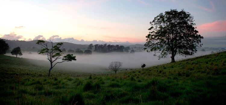
Gympie region lifestyle
The Gympie Region is a local government area in the Wide Bay–Burnett region of Queensland, Australia, about 170 kilometres (110 mi) north of Brisbane, the state capital. It is between the Sunshine Coast and Hervey Bay and centred on the town of Gympie. It was created in 2008 from a merger of the Shires of Cooloola and Kilkivan and part of the Shire of Tiaro.
Contents
- Gympie region lifestyle
- Map of Gympie QLD 4570 Australia
- Gympie region tin can bay rainbow beach
- History
- Wards
- Current CouncillorsMayor
- Towns and localities
- Population
- References
Map of Gympie QLD 4570, Australia
The Regional Council, which governs the Region, has an estimated operating budget of A$50 million.
Gympie region tin can bay rainbow beach
History
Prior to the 2008 amalgamation, the Gympie Region existed as four distinct local government areas:
The Gympie area was originally settled for grazing purposes. The discovery of gold in 1867 led to a gold rush and the development of the Mary River valley for closer agricultural pursuits.
The Widgee Divisional Board was incorporated on 11 November 1879 under the Divisional Boards Act 1879. On 3 July 1886, its western part separately incorporated as the Division of Kilkivan. With the passage of the Local Authorities Act 1902, both Widgee and Kilkivan became shires on 31 March 1903. On 21 November 1940, the Widgee Shire Council moved into new premises formerly occupied by the Bank of New South Wales at 242 Mary Street, Gympie.
The Municipal Borough of Gympie was incorporated on 25 June 1880, holding its first elections on 25 August. A town hall was built in 1890. It became a town under the new Act on 31 March 1903, and on 7 January 1905 was proclaimed a city by the Governor of Queensland.
On 2 November 1993, the Shire of Widgee and the City of Gympie merged under the terms of the Local Government (Shire of Cooloola) Regulation 1993 to form the Shire of Cooloola. The first elections were held on 27 November 1993 and Adrian McClintock, the former Widgee chairman, was elected for a four-year term.
In July 2007, the Local Government Reform Commission released its report and recommended that Cooloola and Kilkivan amalgamate with part of the Shire of Tiaro. The first two councils opposed amalgamation, but in the event of amalgamation, thought the Commission's proposal the best option. Tiaro wished to amalgamate with the Shire of Woocoo and opposed the plan.
On 15 March 2008, the three shires ceased to exist, and elections were held on the same day to elect eight councillors and a mayor to the Regional Council. Ron Dyne, the former mayor of Kilkivan, was elected as the region's first mayor. The former Cooloola Shire Council Chambers is now used as the Gympie Regional Council Chambers.
Wards
The council remains undivided and its elected body consists of eight councillors and a mayor, elected for a four-year term.
Current Councillors/Mayor
The mayor of the Gympie Regional Council is Mick Curran, following the resignation of Ron Dyne, the former mayor of Kilkivan, in December 2014 due to health reasons. Ron Dyne died in February 2015. Mayor Mick Curran was elected in the Gympie Regional Council election on 19 March 2016.
The councillors are:,
Towns and localities
The Gympie Region includes the following settlements:
1 - split with Fraser Coast Region
Population
The populations given relate to the component entities prior to 2008. The next census, due in 2011, will be the first for the new Region. Estimates for the Tiaro component, not included in the figures below, are: 1,315 (1991); 1,695 (1996); 1,789 (2001) and 2,197 (2006).