
Time zone CET (UTC+1) Area 14.77 km² Local time Sunday 6:51 PM | County Szabolcs-Szatmár-Bereg Postal code 4752 Population 1,615 (2013) Area code 44 | |
 | ||
Weather 7°C, Wind N at 16 km/h, 61% Humidity | ||
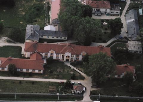
Győrtelek is a village in Szabolcs-Szatmár-Bereg county, in the Northern Great Plain region of eastern Hungary.
Contents
Map of Gy%C5%91rtelek, 4752 Hungary
Geography
It covers an area of 14.78 km2 (6 sq mi) and has a population of 1,615 (2013 estimate).
History
It was recorded by the name of Gyerthelek in 1477; its meaning: the property of a person called György.
The Calvinist church was built of brick in 1822.
Five Romanian nationals, including a child, died when their car (registered in Poland) crashed in Győrtelek in the early hours of June 8, 2014. In the accident, the car veered to the opposite lane of the road and crashed frontally with a bus and then with a van (registered in Harghita County). Four people in the bus and one travelling in the van suffered light injuries.
References
Győrtelek Wikipedia(Text) CC BY-SA