
System length 20.1 km (12.5 mi) Number of stations 20 | Began operation April 28, 2004 Number of lines 1 | |
 | ||
Track gauge 1,435 mm (4 ft 8 ⁄2 in) | ||
Gwangju metro korea
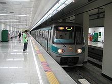
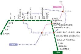
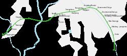
Gwangju Metro (Hangul: 광주 도시철도; Hanja: 光州都市鐵道) is the rapid transit system of Gwangju, South Korea, operated by the Gwangju Metropolitan Rapid Transit Corporation (GRTC, or Gwangju Metro). The subway network first opened in 2004 with 14 stations. The Gwangju Metro consists of one line, serving 20 operational stations, and operating on 20.1 kilometres (12.5 mi) of route.
Contents
- Gwangju metro korea
- 1 1000 gwangju metro line 1 pyeongdong station
- History
- Line 1
- Plan to extend Line 1
- Plan of lines
- References
1 1000 gwangju metro line 1 pyeongdong station
History
Line 1
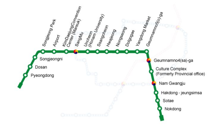
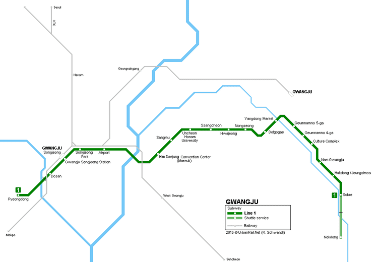
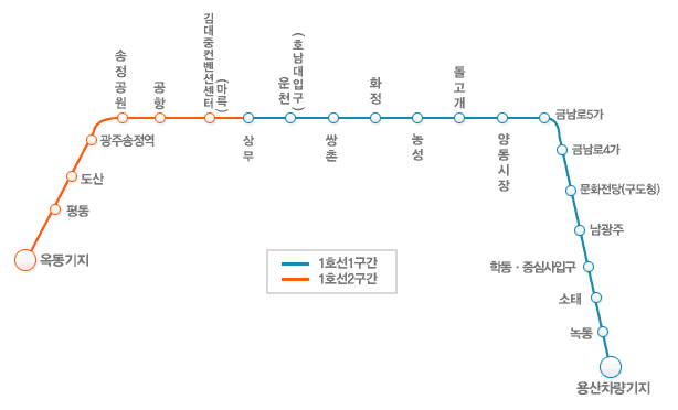
As of 2012 Line 1 consists of twenty stations. The section between Sotae and Nokdong operates as a separate shuttle.
Plan to extend Line 1
The Gwangju City Government has a plan to extend the current Line 1 southward to Hwasun and northward to Naju. Recently, the Presidential Committee on Balanced National Development promised to include the Line 1 extension in its '5+2 extensive economic zone' project.
Plan of lines
The original plan of Line 2 was a circle type, but recently the Gwangju City Government suggested to consider a so-called 'South-North type' as well. Now the Gwangju City Government is holding a public hearing.