
Area 5,214 km² Local time Sunday 2:39 PM | Website Official website Tehsil 1. | |
 | ||
Weather 26°C, Wind NW at 11 km/h, 22% Humidity Points of interest Gwalior Fort, Jai Vilas Mahal, Maharaj Bada - Gwalior, Teli Ka Mandir, Gujari Mahal Colleges and Universities Jiwaji University, Madhav Institute of Technolo, ITM University, Rajmata Vijayaraje Scindia K, Rustamji Institute of Technology | ||
Gwalior district (Hindi: ग्वालियर जिला) is one of the 51 districts of Madhya Pradesh state in central India. The historic city of Gwalior is its administrative headquarters. Gwalior Metropolitan Region is one of the major metropolitan areas in India. Other cities and towns in this district are Antari, Bhitarwar, Bilaua, Dabra, Morar, Lashkar, Morar Cantonment, Pichhore, and Tekanpur.
Contents
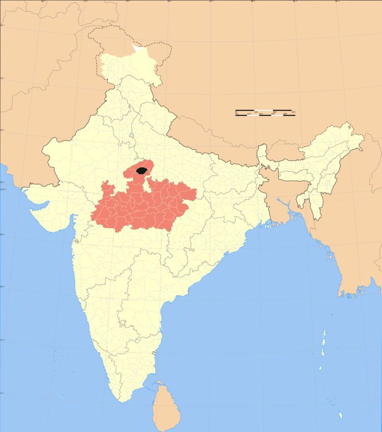
Map of Gwalior, Madhya Pradesh
The district has an area of 5,214 km², and a population 1,629,881 (2001 census), a 26% increase from 2001 census.
Geography
The district is at the center of the Gird region, and is mostly a relatively level plain. This plain, though broken in its southern portion by low hills, has generally an elevation of only a few hundred feet above sea-level. In the summer season the climate is very hot, the shade temperature rising frequently to around 44°C (112°F), but in the winter months (from November to February inclusive) it is usually temperate and for short periods extremely cold.
Divisions
The district comprises 3 tehsils: Gwalior (formerly, Gird), Bhitarwar and Dabra (formerly, Pichore). There are six Madhya Pradesh Vidhan Sabha constituencies in this district. These are Gwalior Rural, Gwalior, Gwalior East, Gwalior South, Bhitarwar and 6. Dabra. All of these are part of Gwalior Lok Sabha constituency
Demographics
According to the 2011 census Gwalior district has a population of 2,030,543, roughly equal to the nation of Slovenia or the US state of New Mexico. This gives it a ranking of 227th in India (out of a total of 640). The district has a population density of 445 inhabitants per square kilometre (1,150/sq mi) . Its population growth rate over the decade 2001-2011 was 24.41%. Gwalior has a sex ratio of 862 females for every 1000 males, and a literacy rate of 77.93%.