
First ascent 6 October 1912 | Elevation 1,575 m Prominence 161 m | |
 | ||
Easiest route Exposed Scramble, class 3 First ascenders Hector Abel, Mary Hard, Charles Hazlehurst, Paul Dubuar Similar Snoqualmie Mountain, Denny Mountain, Bandera Mountain, Mount Stuart, Lemah Mountain | ||
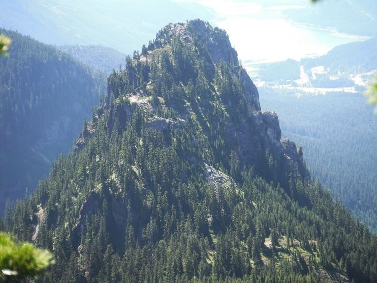
Guye Peak is a mountain in Washington State, United States. Named for Francis M. Guye, who held an iron mining claim on it in the 1880s, it lies in the Alpine Lakes Wilderness area of the Cascade Range and overlooks Snoqualmie Pass from the north.
Map of Guye Peak, Washington 98045, USA
Guye Peak was first climbed on October 6, 1912 by Charles Hazlehurst, Hector Abel, Paul Dubuar, and Mary Hard. The climb is 2,000 feet (600 m) from the pass valley and has mixed rock climbing and scrambling, ranging from class 3 to class 5.6. It is popular partly because of easy access from Interstate 90.
Like other hiking experiences in the region, Guye Peak has wet-climate hazards such as mossy or otherwise slippery rocks in the summer and avalanches in the winter. At least eight climbers have died in falls on Guye Peak, including the mathematician Oded Schramm in 2008.