District Nagaur PIN 341505 | Time zone IST (UTC+5:30) Population 1,222 (2011) | |
 | ||
Gunawati is a village in Makrana tehsil in Nagaur district of Rajasthan, India.
Contents
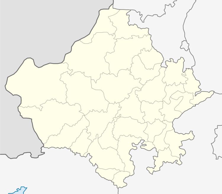
Map of Gunawati, Makrana, Rajasthan 341505
It is located in the Nagaur District, approximately 120 km west of Jaipur and 1.5 km far from Makrana.
History
Gunawati was founded in 1706 CE (Vikram Samvat 1763) by Sarv Shri Singh, the son of Joravar Singh. It was named after Birbal's sister Gunwati.
Economy
Farming is the main occupation for the most of Jakhal residents. The main crops in the monsoon seasons are Bajara (Pearl Millet), Moth and Gwar. The main crops in the winter months are Wheat, Barley, Mustard Seed and Chana (Chickpeas).
Several of the villagers have served in the Indian Army.
Geography
Gunawati is located at 27.01°N 74.71°E / 27.01; 74.71.
Demographics
As of 2011 India census, Gunawati had a population of 1,222. Males constitute 638 of the population and females 584.
