
Topo map OS Landranger 119 Prominence 168 m | OS grid SJ970615 Elevation 373 m Listing Marilyn | |
 | ||
Similar The Cloud, Cheeks Hill, Black Edge, Harridge Pike, Wild Bank | ||
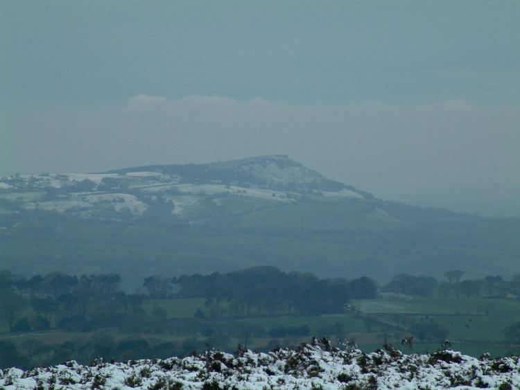
Gun is an undistinguished hill at the southern end of the Peak District. The hill is mainly moorland with some small wooded areas. Gun is often overlooked by walkers who prefer the neighbouring peaks of The Roaches, Hen Cloud and Ramshaw rocks. However it still features typical moorland scenery and some pleasant hill walking. The hill overlooks the town of Leek in the Staffordshire Moorlands which is an ideal base for visiting the Peak District National Park. The hill often features in the itinerary of the Tour of Britain cycle race.
Map of Gun, Macclesfield, UK
Gun has the Summits on the Air reference G/SP-013
References
Gun (Staffordshire) Wikipedia(Text) CC BY-SA