
Listing (none) Topo map OS Landranger 109 Prominence 88 m Parent ranges Peak District, Pennines | OS grid SJ988980 Elevation 399 m Mountain range Pennines | |
 | ||
Location Stalybridge, Greater Manchester, England Similar Harridge Pike, Black Edge, Black Chew Head, Cheeks Hill, Gun | ||
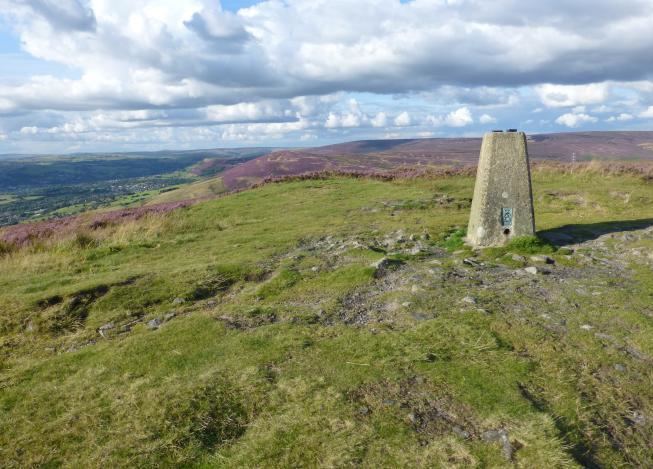
Wild Bank is a hill in Stalybridge, just outside the Peak District National Park. Its western flank rises from the valley of the River Tame to a height of 399 metres. To the east of the summit, the ground falls away more gradually to Shaw Moor and Hollingworthhall Moor, beyond which are Mottram in Longdendale and Hollingworth. Since 2004, the moorland in the area of the pike has been classed as access land. From the summit the centre of Manchester, Winter Hill and the Cheshire Plain can be seen. On very clear days the mountains of Snowdonia are visible.
Map of Wild Bank, Stalybridge, UK
References
Wild Bank Wikipedia(Text) CC BY-SA