
Postcode(s) 4418 Guluguba Pelham Local time Sunday 7:06 AM | Postal code 4418 | |
 | ||
Location 19 km (12 mi) south-east of Wandoan47 km (29 mi) north of Miles318 km (198 mi) north-west of Brisbane CBD Weather 21°C, Wind N at 13 km/h, 82% Humidity | ||
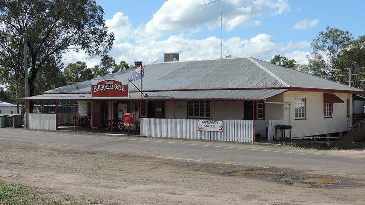
Guluguba is both a town and a locality in the Western Downs Region in Queensland, Australia. In the 2011 census, Guluguba was counted together with neighbouring Wandoan and had a combined population of 655.
Contents
Map of Guluguba QLD 4418, Australia
History
The name Guluguba is thought to be an Aboriginal word meaning squatter pigeon.
Guluguba Post Office opened by 1916 (a receiving office had been open from 1915).
The Guluguba State School opened on 1 February 1917.
Geography
Guluguba is located on the Leichhardt Highway, north of Miles and south of Wandoan.
References
Guluguba, Queensland Wikipedia(Text) CC BY-SA