
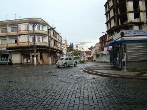
Passeio de avi o em guaxup conhe a a cidade vista por cima
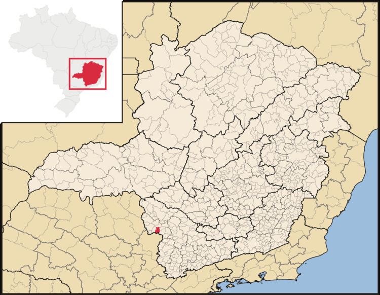
Guaxupé is a Brazilian municipality located in the southwest of the state of Minas Gerais. Its population as of 2007 was 47,894 people living in a total area of 286 km². The city belongs to the meso-region of Sul e Sudoeste de Minas and to the micro-region of São Sebastião do Paraíso. It became a municipality in 1837.
Contents
- Passeio de avi o em guaxup conhe a a cidade vista por cima
- Temporal causa estragos em guaxup
- Location
- Economic Activities
- Health and Education
- References
Temporal causa estragos em guaxup
Location
The city center of Guaxupé is located at an elevation of 760 meters a short distance from the state boundary of São Paulo. Neighboring municipalities are: Pratinha and São Pedro da União (N), Juruaia and Muzambinho (E), Tapiratiba (S), and Guaranésia (W).
Access and Distances
Belo Horizonte: 478 km, São Paulo: 282 km, Rio de Janeiro: 650 km, Brasília: 1200 km, Campinas: 200 km, Ribeirão Preto: 150 km, Poços de Caldas: 100 km, and Alfenas: 100 km
Economic Activities
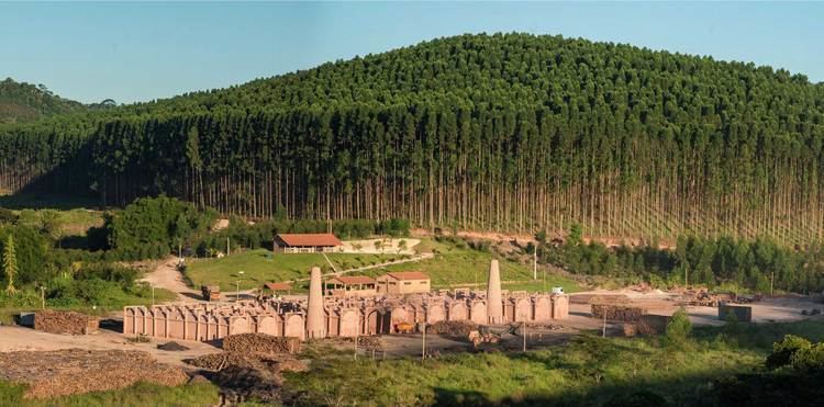
Agriculture, with coffee production and dairy products, is the main economic activity. Industry is also important with four major factories: Fiação e Tecelagem Guaxupé, belonging to the Kanebo group; PEMG and TECTER (electro-magnetic); Pasqua J.F. and Qualifio (copper wires). there are also about 150 small industrial units which produce dairy products, sweets, wood products, cement blocks, shoes, ammunition, surgical stitches, clothes, furniture, and coffee toasting.
The GDP in 2005 was approximately R$732 million, with 80 million reais from taxes, 351 million reais from services, 265 million reais from industry, and 36 million reais from agriculture. The industrial sector employed 3,038 workers in 2005, while 3,667 were employed in commerce, and 774 were employed in public administration.
In the rural area there were 398 producers on 19,000 hectares of land. Approximately 2100 persons were occupied in agriculture. The main crops are coffee, 6,200 hectares; sugarcane, 1,275 hectares; and corn, 1,300 hectares. There were 8,000 head of cattle, of which 3,000 were milk cows (2006). Swine and poultry raising are also substantial.
There were 7 banks (2007). In the vehicle fleet there were 11,233 automobiles, 757 trucks, 1,082 pickup trucks, 137 buses, and 3,286 motorcycles (2007).
Health and Education
In the health sector there were 13 health clinics and 1 private hosptital with 100 beds (2005). Educational needs of 11,100 students were attended to by 38 primary schools, 5 middle schools, and 18 pre-primary schools.
In 2000 the per capita monthly income of R$301.00 was above the state average of R$276.00 and above the national average of R$297.00. Poços de Caldas had the highest per capita monthly income in 2000 with R$435.00. The lowest was Setubinha with R$73.00.
The highest ranking municipality in Minas Gerais in 2000 was Poços de Caldas with 0.841, while the lowest was Setubinha with 0.568. Nationally the highest was São Caetano do Sul in São Paulo with 0.919, while the lowest was Setubinha. In more recent statistics (considering 5,507 municipalities) Manari in the state of Pernambuco has the lowest rating in the country—0,467—putting it in last place.