
Founded 12 March 1537 Area 177.4 km² Local time Friday 11:55 PM | Elevation 2,688 m (8,819 ft) Population 11,385 (2015) | |
 | ||
Weather 12°C, Wind NW at 5 km/h, 94% Humidity Founder | ||
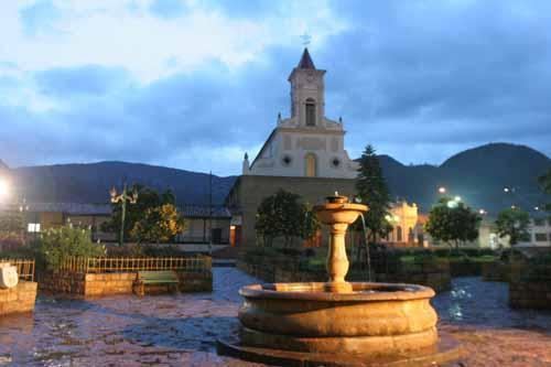
Guachetá is a municipality and town of Colombia in the Ubaté Province of the department of Cundinamarca. Guachetá is located at 118 kilometres (73 mi) from the capital Bogotá. It borders the Boyacá municipalities of Ráquira and Samacá in the north, Ubaté and Lenguazaque in the south, Ventaquemada and Lenguazaque in the east and in the west Fúquene and Ubaté. Guachetá is located on the Altiplano Cundiboyacense at altitudes between 2,600 metres (8,500 ft) and 3,500 metres (11,500 ft).
Contents
Map of Guachet%C3%A1, Cundinamarca, Colombia
History
When the Spanish conquistadores entered the central highlands of Colombia, they encountered the Muisca Confederation; territories of the Muisca. Guachetá was an independent territory within the confederation, led by a cacique. The Spanish army leader Gonzalo Jiménez de Quesada founded Guachetá on March 12th, 1537 and initially called it San Gregorio because of the date. The Muisca spoke Chibcha and Guachetá in Chibcha means "farmlands of the hill".
Muisca myth
One of the many stories of the mythology of the Muisca is the myth of the virgin maid of Guachetá. The daughter of the cacique allegedly became pregnant through the forces of the Sun, represented in the Muisca religion by Sué. After nine months pregnancy she bore an emerald that she put between her breasts. From this emerald grew the mythical cacique Goranchacha; son of the Sun.
Economy
Main economical activity of Guachetá is agriculture, particularly potatoes, maize, peas and beans.