
Elevation 1,389 m Mountain range Santa Rosa Mountains | Prominence 803 m Parent range Santa Rosa Mountains | |
 | ||
Topo map USGS Santa Rosa Mountains Similar Mount Turnbull, Chiricahua Peak, Pinal Peak, Roof Butte, Mount Tipton | ||
Gu Achi Peak (O'odham: Ge Aji Doʼag) is a mountain in the Santa Rosa Mountains of Arizona. It is on the Tohono O'odham Indian Reservation, about 56 miles (90 km) west of Tucson. Gu Achi Peak can be translated as 'big ridge'.
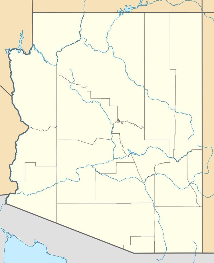
Map of Gu Achi Peak, Arizona, USA
References
Gu Achi Peak Wikipedia(Text) CC BY-SA