
Vehicle registration GM Area 16.78 km² Population 2,565 (1 Apr 2009) Area code 07612 | Time zone CET (UTC+1) Elevation 523 m Local time Saturday 5:38 AM Postal code 4816 | |
 | ||
Website www.oberoesterreich.at/gschwandt Weather 1°C, Wind SW at 5 km/h, 85% Humidity | ||
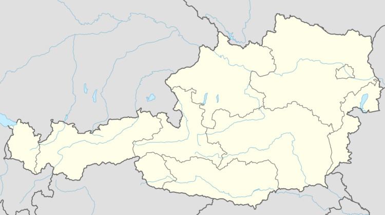
Gschwandt is a municipality in the district of Gmunden in the Austrian state of Upper Austria.
Contents
Map of 4816 Gschwandt, Austria
Geography
Gschwandt lies in a hilly area with a view on the Traunstein. About 18 percent of the municipality is forest, and 71 percent is farmland.
References
Gschwandt Wikipedia(Text) CC BY-SA