
Country United States FIPS code 48-31328 Elevation 3 m Zip code 77619 Local time Friday 4:36 PM | Time zone Central (CST) (UTC-6) GNIS feature ID 1358473 Area 13.4 km² Population 15,804 (2013) Area code 409 | |
 | ||
Weather 23°C, Wind SE at 8 km/h, 81% Humidity | ||
Groves is a city in Jefferson County, Texas, United States. The population was 15,733 at the 2000 census. A July 1, 2010 U.S. Census Bureau estimate placed the population at 16,144. It is part of the Beaumont–Port Arthur Metropolitan Statistical Area.
Contents
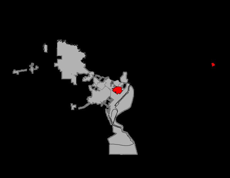
- Map of Groves TX 77619 USA
- Geography
- History
- Demographics
- Government and infrastructure
- Public schools
- Colleges and universities
- Public libraries
- References
Map of Groves, TX 77619, USA
Geography
Groves is located at 29°56′50″N 93°54′57″W (29.947113, -93.915829). It is situated approximately eleven miles southeast of Beaumont in eastern Jefferson County. The city of Port Arthur borders Groves on three sides (southeast, southwest, and northeast), while Port Neches lies to the northwest. Three State Highways – 73, 87, and 347 – pass through or near the city.
According to the United States Census Bureau, the city has a total area of 5.2 square miles (13 km2), of which 5.2 square miles (13 km2) is land and 0.19% is water.
History
In 1886, sam courville moved his family from a Sabine Lake settlement in Port Arthur to a new home on 640 acres (2.6 km2) of land. It would be in that same general area around 1911 that John Warne Gates purchased additional tracts of land. The land was conveyed to the Griffing brothers of Port Arthur in 1916 and three years later, Griffing Brothers Nursery employee Wiley Choate supervised the planting of several thousand pecan trees on a 385-acre (1.56 km2) tract. In 1921, the Port Arthur Land Development Company took control of the site and divided the land into a residential subdivision known as Pecan Grove. The name was later shortened to "Groves," after development representative and pioneer Port Arthurian Asa Groves.
A post office was established in 1927 and a school opened in 1929. A public library opened the following year. The community rapidly developed as a stop on the Kansas City Southern Railway. The Atlantic Refinery began operating in 1936. In 1940, a public water system was installed in the community. Several civic organizations, including the Lions Club, Chamber of Commerce, and Volunteer Fire Department were formed during the 1940s. By the early 1950s, Groves had an estimated population of 1,300. In 1952, residents of the community voted 1,079-262 in favor of incorporating Groves as a city. Rapid population growth followed, surpassing 17,000 in the 1960 census and reaching 18,067 by 1970. During the remainder of the twentieth century, the number of residents slowly declined. In 2000, Groves was the fourth-largest city in Jefferson County, after Beaumont, Port Arthur, and Nederland.
Demographics
As of the census of 2000, there were 15,733 people, 6,182 households, and 4,512 families residing in the city. The population density was 3,036.7 people per square mile (1,172.7/km2). There were 6,570 housing units at an average density of 1,268.1/sq mi (489.7/km2). The racial makeup of the city was 93.46% White, 1.32% African American, 0.26% Native American, 1.65% Asian, 0.03% Pacific Islander, 1.98% from other races, and 1.29% from two or more races. Hispanic or Latino of any race were 7.82% of the population.
There were 6,182 households out of which 31.6% had children under the age of 18 living with them, 59.8% were married couples living together, 9.9% had a female householder with no husband present, and 27.0% were non-families. 24.1% of all households were made up of individuals and 12.4% had someone living alone who was 65 years of age or older. The average household size was 2.52 and the average family size was 2.98.
In the city, the population was spread out with 23.9% under the age of 18 (see Recreation), 8.5% from 18 to 24, 26.8% from 25 to 44, 21.6% from 45 to 64, and 19.1% who were 65 years of age or older. The median age was 39 years. For every 100 females there were 92.5 males. For every 100 females age 18 and over, there were 88.8 males.
The median income for a household in the city was $42,692, and the median income for a family was $50,892. Males had a median income of $41,404 versus $23,493 for females. The per capita income for the city was $21,147.
Government and infrastructure
The United States Postal Service Groves Post Office is located at 6230 39th Street. The city has invested over $14,000,000 into the city infrastructure between 2003 and present date. This includes a new $6,000,000 water treatment plant as well as $5,000,000 borrowed from the TWDB to deal with inflow and infiltration issues in the waste water collection system. Substantial investments have also been made to the water distribution system and waste water treatment plant. In this same time frame an additional $2,000,000 has been allocated to streets and drainage maintenance and improvements.
Public schools
The City of Groves is served by the Port Neches-Groves Independent School District. Groves Middle, Van Buren, Taft elementary, and Groves elementary
Colleges and universities
The Lamar University system is in nearby Beaumont. Post-secondary educational opportunities are provided to the city of Groves and surrounding areas by the main campus of Lamar University, Lamar Institute of Technology, Lamar State College at Port Arthur, and Lamar State College at Orange.
Public libraries
The City of Groves Public Library at 5600 West Washington Boulevard serves Groves.