
Population 391 (2011 census) Postal code 2652 | Postcode(s) 2652 Elevation 162 m Local time Saturday 4:55 AM | |
 | ||
Location 510 km (317 mi) SW of Sydney457 km (284 mi) N of Melbourne82 km (51 mi) NW of Wagga Wagga22 km (14 mi) E of Narrandera Weather 16°C, Wind E at 2 km/h, 52% Humidity | ||
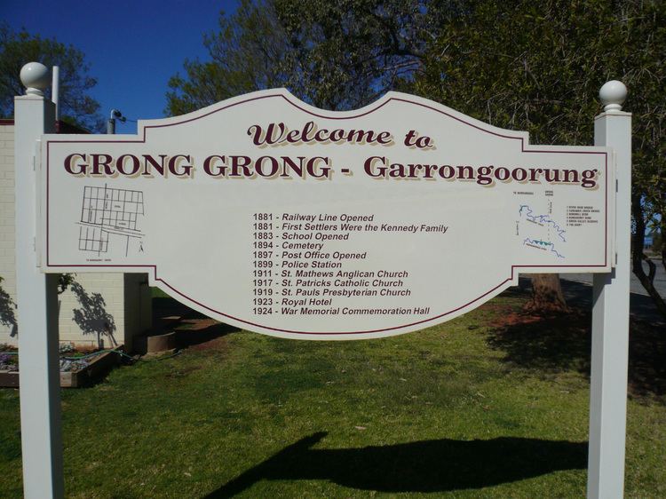
Grong Grong /ˈɡrɒŋ ˈɡrɒŋ/ is a small town that is located in the Riverina region of New South Wales, Australia. The town is situated on the Newell Highway, 23 kilometres (14 mi) east of Narrandera in the Shire of Narrandera.
Contents
Map of Grong Grong NSW 2652, Australia
The name Grong Grong is an Aboriginal term meaning "bad camping ground" or "very bad camping ground".
Demography
Like many rural localities in the area, the population level has progressively declined over a number of years, evidenced as follows:
Facilities
The Grong Grong post office was opened on 1 November 1881.
The town has a railway station on the Hay branch off the Main South Line. However, the line has closed so with it has the station. Only part of the line is used by a weekly passenger train to Griffith which does not stop at the station. Grong Grong can be accessed by coaches that stop at the town on the way to Hay and Mildura.