Admin. region Oberbayern Elevation 467 m (1,532 ft) Area 29.73 km² Local time Saturday 12:58 AM Dialling code 08031 | District Rosenheim Time zone CET/CEST (UTC+1/+2) Population 6,914 (31 Dec 2008) Postal code 83109 | |
 | ||
Weather 0°C, Wind S at 5 km/h, 92% Humidity | ||
Großkarolinenfeld (spelled with the German ß) is a municipality in the district of Rosenheim in Bavaria in Germany.
Contents
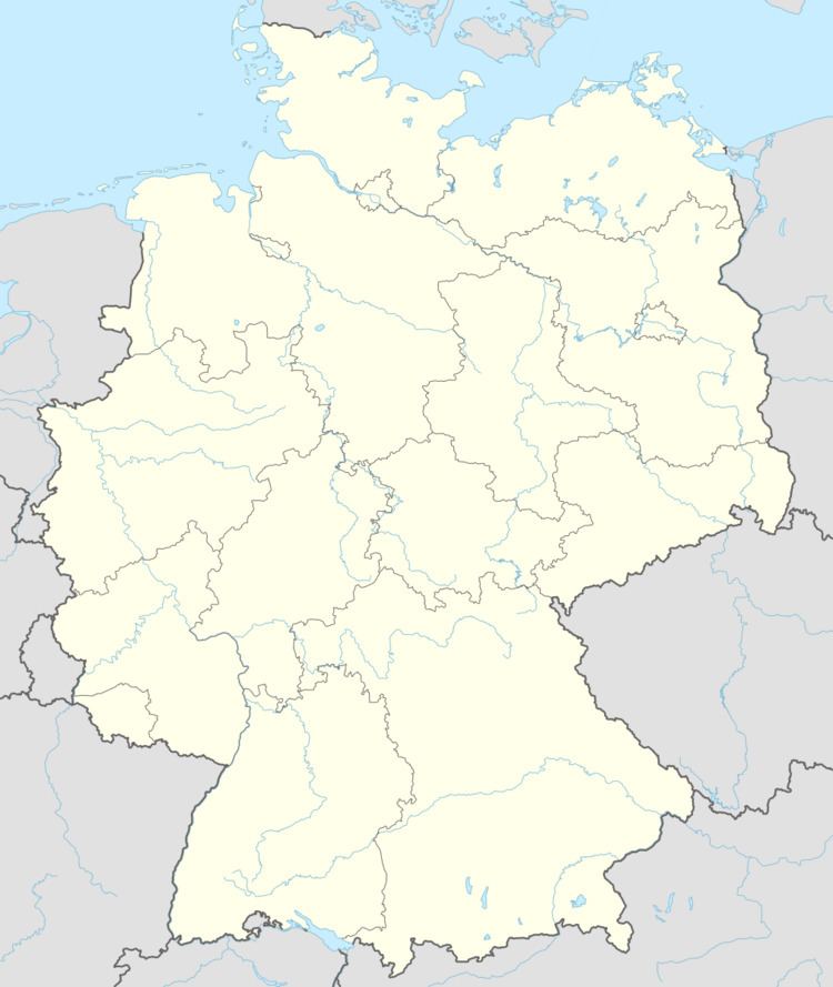
Map of Gro%C3%9Fkarolinenfeld, Germany
It is located at the Munich–Rosenheim railway. The station Großkarolinenfeld is served about once per hour by local trains.
There are 41 official districts of Großkarolinenfeld. The larger ones are Großkarolinenfeld itself, Jarezöd (also known as Dred), Hilperting, Tattenhausen and Thann, the smaller ones are mostly farmsteads, namely Alsterloh, Ametsbichl, Aschach, Auberg, Bach, Bichl, Buchrain, Deutlstätt, Ester, Filzen, Frauenholz, Gröben, Gutmart, Haslau, Hohenaich, Hub, Kirchsteig, Kolberg, Krabichl, Lehen, Linden, Mühlbach, Naglstätt, Öd, Ödenhub, Petzenbichl, Rann, Ried, Riedhof, Rott, Schlimmerstätt, Schwaig, Stolz, Thonbichl, Vogl, and Zweckstätt.
History
In 1802, the Catholic Maximilian I Joseph of Bavaria and his Protestant wife Caroline of Baden decreed that people from the Electoral Palatinate may settle down in some places at the Old Bavarian Donaumoos. One of these places was the new municipality of Großkarolinenfeld. In 1882, the first Protestant church in Altbayern war erected here.
