
Surface area 0.66 km (0.25 sq mi) Max. depth 11 m (36 ft) Surface elevation 32 m Mean depth 6 m | Average depth 6 m (20 ft) Area 66 ha Shore length 5.2 km | |
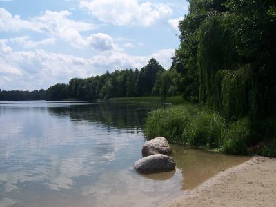 | ||
Groß Glienicker See is a lake in the states of Brandenburg and Berlin, Germany. At an elevation of 31.6 m, its surface area is 0.66 km². The border between the city of Potsdam and the city of Berlin runs in a north-south direction through the center of the lake, with the Potsdam locality of Groß Glienicke on the left shore and the Berlin locality of Kladow on the right shore.
Contents
Map of Gro%C3%9F Glienicker See, Germany
GeologyEdit
Together with the Sacrower See to the south and the Heiliger See in Potsdam, Glienicker See forms a chain of glacial lakes. It lacks a surface outlet and is almost entirely fed by groundwater.
The lake during the Cold WarEdit
The border between West Berlin and East Germany in the center of the lake was marked by buoys. The Berlin Wall on the west and south shores prevented access to or even a sight of the shore by East Germans. For those in West Berlin the lake was a popular place for swimming. One could swim (or in the winter walk over the ice) up to the buoys.