Neha Patil (Editor)

Grey Highlands

Updated on
Edit
Like
Comment
Share on FacebookTweet on TwitterShare on LinkedInShare on Reddit
Country
  
Canada

Formed
  
January 1, 2001

Postal Code
  
N0C 1H0

Population
  
9,520 (2011)

Province
  
Ontario

County
  
Grey

Time zone
  
EST (UTC-5)

Area code(s)
  
519 and 226

Local time
  
Friday 5:30 AM

Grey Highlands wwwgreyhighlandscassfiles2photobjpg

Weather
  
-7°C, Wind NW at 18 km/h, 73% Humidity

Points of interest
  
Beaver Valley Ski Club, Eugenia Falls Conserva, Hoggs Water Falls, Lake Eugenia, South Grey Museum

Experience lake eugenia grey highlands


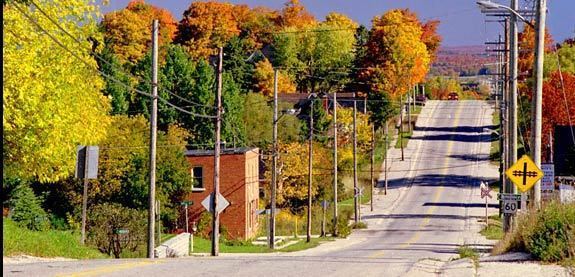
Grey Highlands is a municipality in the southeast corner of Grey County, Ontario, Canada that was formed on January 1, 2001, by the amalgamation of the village of Markdale and the townships of Artemesia, Euphrasia and Osprey, which included the unincorporated hamlets of Eugenia Ceylon, Maxwell, Singhampton, Priceville, Kimberley, and Feversham. The former village of Flesherton is also located within the municipality; it was amalgamated with Artemesia Township in 1998.

Contents

Map of Grey Highlands, ON, Canada

According to the 2011 Census, the municipality covers a land area of 882 square kilometres and has a population of 9,520.

Communities

  • Eugenia
  • Feversham
  • Flesherton
  • Kimberley
  • Markdale
  • Vandeleur
  • Geography

    The dominant natural feature of the area is the Niagara Escarpment, which passes through the municipality and has several ancillary features:

  • the Bruce Trail, a popular hiking and multi-use trail, follows the brow of the Niagara Escarpment.
  • Beaver Valley, a steep-sided and broad valley, was created during the last ice age. The eastern side of the valley, as part of the Niagara Escarpment, was designated a UNESCO Biosphere reserve in 1990. The west side of the valley is home to a number of downhill ski slopes, including Beaver Valley Ski Club.
  • Eugenia Falls, where the Beaver River crosses the Niagara Escarpment, is the location of Grey County's only gold rush.
  • Demographics

    Population trend:

  • Population in 2011: 9520 (2006 to 2011 population change: 0.4%)
  • Population in 2006: 9480 (2001 to 2006 population change: 3.1%)
  • Population in 2001: 9196
  • Population total in 1996: 8620
  • Artemesia (township): 2881
  • Euphrasia (township): 1513
  • Flesherton (village): 625
  • Markdale (village): 1354
  • Osprey (township): 2247
  • Population total in 1991: 7828
  • Artemesia (township): 2538
  • Euphrasia (township): 1427
  • Flesherton (village): 543
  • Markdale (village): 1370
  • Osprey (township): 1950
  • Private dwellings occupied by usual residents: 3752 (total dwellings: 5297)

    Education

    Elementary students (Kindergarten to grade 8) are divided into three catchment areas:

  • MacPhail Memorial Elementary School serves the Flesherton area.
  • Osprey Central School serves the Maxwell and Feversham area.
  • Beavercrest Community School serves the Markdale and surrounding area.
  • All of these students go to Grey Highlands Secondary School in Flesherton for Grades 9-12.

    References

    Grey Highlands Wikipedia