
Municipality Sør-Varanger Local time Friday 11:22 AM | Elevation 5 m (16 ft) | |
 | ||
Weather -8°C, Wind SW at 23 km/h, 78% Humidity | ||
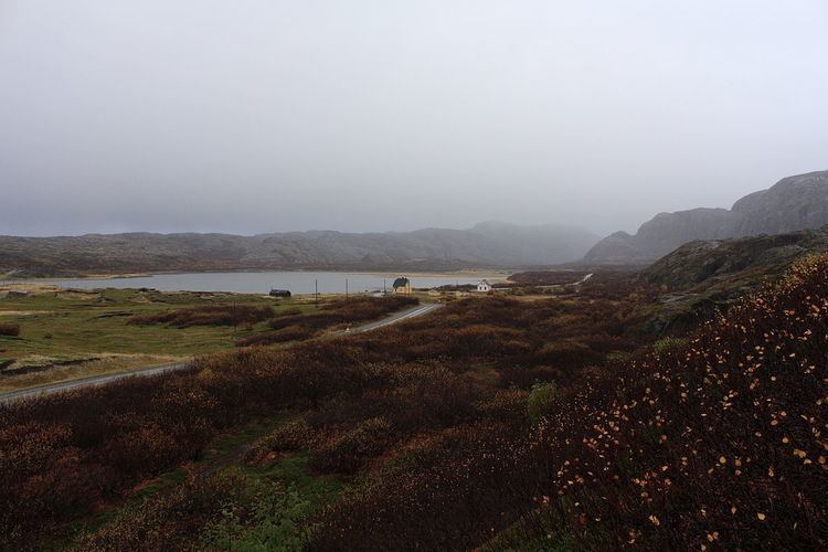
Grense Jakobselv (Northern Sami: Vuorjánjohka Finnish: Vuoremijoki and Russian: Гренсе Якобсэльв) is a small village in Sør-Varanger Municipality in Finnmark county, Norway. It is located on the shore of the Barents Sea at the mouth of the Jakobselva river. It lies about 54 kilometres (34 mi) by road east of the town of Kirkenes. The area was settled by Norwegians in 1851.
Contents
- Map of 9900 Grense Jakobselv Norway
- Border with Russia
- King Oscar II Chapel
- Distance from Oslo
- References
Map of 9900 Grense Jakobselv, Norway
Border with Russia
The Jakobselva river forms the border with Russia, on the east side of Grense Jakobselv. Here, there is a small post of the Garrison of Sør-Varanger of the Norwegian Army, from where soldiers patrol the border. In this area, however, there is no public border crossing.
King Oscar II Chapel
In the village, there is a stone chapel built in 1869 called King Oscar II Chapel. The church was built to reinforce Norway's territorial claim to the area, and was named after King Oscar II of Sweden and Norway at a visit he made in 1873.
Distance from Oslo
Grense Jakobselv is the point in mainland Norway farthest by road from Norway's capital Oslo. It is 2,465 kilometres (1,532 mi) by a route entirely within Norway [Oslo Central Station -> E18 (2 km) -> Rv190 (5.5 km) -> E6 (121 km) -> Rv3 (272 km) -> E6 (1501 km) -> Rv93 (97 km) -> Rv92 (97 km) -> E6 (316 km) -> E105 (9.5 km) -> Rv886 (44 km)]. It is about 1,955 kilometres (1,215 mi) (510 kilometres (320 mi) shorter) via a route through the neighboring countries of Sweden and Finland. It is not the farthest place using international routes, that would be Hamningberg, 2,010 kilometres (1,250 mi).