
 | ||
The Grenff, also Grenf, is an approximately 21.9 km long, right-hand or southeasterly tributary of Schwalm in East Hesse Highlands in North Hesse Schwalm-Eder-Kreis and belongs to the river system and catchment area of the Weser.
Contents
Map of Grenff, Germany
CourseEdit
The Grenff rises in Ottrauer Highland, a part of the Fulda-Haune Plateau s in East Hesse Highlands, in the transition area to the Knüllgebirge. The source is 1.2 km southeast of the Ottrau he hamlet Görzhain in a clearing of the northern flank Glad crosshead (about 530 m above sea level (NN)), the western spur of the Rimberg (591.8 m), to about 395 m height.
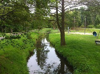
Initially flows the Grenff which runs predominantly north-west, by and by Görzhain. Henceforth they will be of the Railway Bad Hersfeld-Treysa (also Knüllwald railway) at which it the Station Ottrau as the smallest Ottrauer district, the local Boßmühle, then the Stone mill that Lenz mill, Kleinropperhausen and Cutting mill happens. Then the Grenff flows through the riverside towns Nausis, after which it 'flows past the' 'Bruchmühle', Neukirchen, Rückershausen, after which they passed the Singer mill, and Riebelsdorf. Thereafter, the river passes the 'lying at the' 'Knüllwald railway' breakpoint Zella and Jack mill. At just west of Grenff property Willingshausen he district Loshausen it opens, after overcoming of approximately 181 m difference in altitude, on in the coming there from the south Eder - inflow Schwalm.
Catchment and tributariesEdit
The drainage basin of Grenff includes 86.406 km². Their tributaries belong to orographic he allocation (l. = on the left side, r. = on the right side) , river length and river mouth with Grenff river kilometer (downriver considered ):
WatermillsEdit
Watermills at the Grenff are: