
Country United States County Hennepin Time zone Central (CST) (UTC-6) Elevation 287 m Population 709 (2013) Area code 952 | Founded 1956 FIPS code 27-25918 Zip code 55331 Local time Thursday 11:30 PM | |
 | ||
Weather -7°C, Wind NW at 24 km/h, 45% Humidity Area 158 ha (93 ha Land / 65 ha Water) | ||
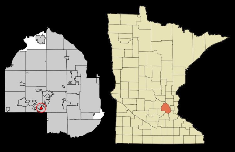
Greenwood is a city in Hennepin County, Minnesota, United States. The population was 688 at the 2010 census.
Contents
Map of Greenwood, MN 55331, USA
Geography
According to the United States Census Bureau, the city has a total area of 0.61 square miles (1.58 km2), of which 0.36 square miles (0.93 km2) is land and 0.25 square miles (0.65 km2) is water. Minnesota State Highway 7 serves as a main route.
History
The community was founded in 1956.
2010 census
As of the census of 2010, there were 688 people, 290 households, and 223 families residing in the city. The population density was 1,911.1 inhabitants per square mile (737.9/km2). There were 327 housing units at an average density of 908.3 per square mile (350.7/km2). The racial makeup of the city was 95.3% White, 0.6% African American, 0.3% Native American, 1.9% Asian, 0.1% from other races, and 1.7% from two or more races. Hispanic or Latino of any race were 2.0% of the population.
There were 290 households of which 27.9% had children under the age of 18 living with them, 70.0% were married couples living together, 3.4% had a female householder with no husband present, 3.4% had a male householder with no wife present, and 23.1% were non-families. 19.0% of all households were made up of individuals and 5.9% had someone living alone who was 65 years of age or older. The average household size was 2.37 and the average family size was 2.70.
The median age in the city was 49.8 years. 19.3% of residents were under the age of 18; 4.3% were between the ages of 18 and 24; 17.1% were from 25 to 44; 45.2% were from 45 to 64; and 14% were 65 years of age or older. The gender makeup of the city was 51.9% male and 48.1% female.
2000 census
As of the census of 2000, there were 729 people, 285 households, and 214 families residing in the city. The population density was 2,098.2 people per square mile (804.2/km²). There were 297 housing units at an average density of 854.8 per square mile (327.6/km²). The racial makeup of the city was 96.57% White, 0.69% African American, 0.55% Asian, 1.23% from other races, and 0.96% from two or more races. Hispanic or Latino of any race were 2.47% of the population.
There were 285 households out of which 34.0% had children under the age of 18 living with them, 68.8% were married couples living together, 4.2% had a female householder with no husband present, and 24.6% were non-families. 18.9% of all households were made up of individuals and 6.0% had someone living alone who was 65 years of age or older. The average household size was 2.56 and the average family size was 2.96.
In the city, the population was spread out with 25.9% under the age of 18, 2.9% from 18 to 24, 26.7% from 25 to 44, 34.8% from 45 to 64, and 9.6% who were 65 years of age or older. The median age was 42 years. For every 100 females there were 107.1 males. For every 100 females age 18 and over, there were 103.8 males.
The median income for a household in the city was $102,719, and the median income for a family was $127,013. Males had a median income of $69,375 versus $41,786 for females. The per capita income for the city was $63,200. About 0.4% of families and 0.8% of the population were below the poverty line, including 1.3% of those under age 18 and none of those age 65 or over.