
Time zone CST (UTC-6) Elevation 181 m Local time Thursday 10:13 PM | Established November 6, 1860 ZIP codes 62420, 62428, 62468 Area 123 km² Population 2,413 (2010) | |
 | ||
Weather 7°C, Wind N at 21 km/h, 72% Humidity | ||
Greenup Township is one of eight townships in Cumberland County, Illinois, USA. As of the 2010 census, its population was 2,413 and it contained 1,140 housing units.
Contents
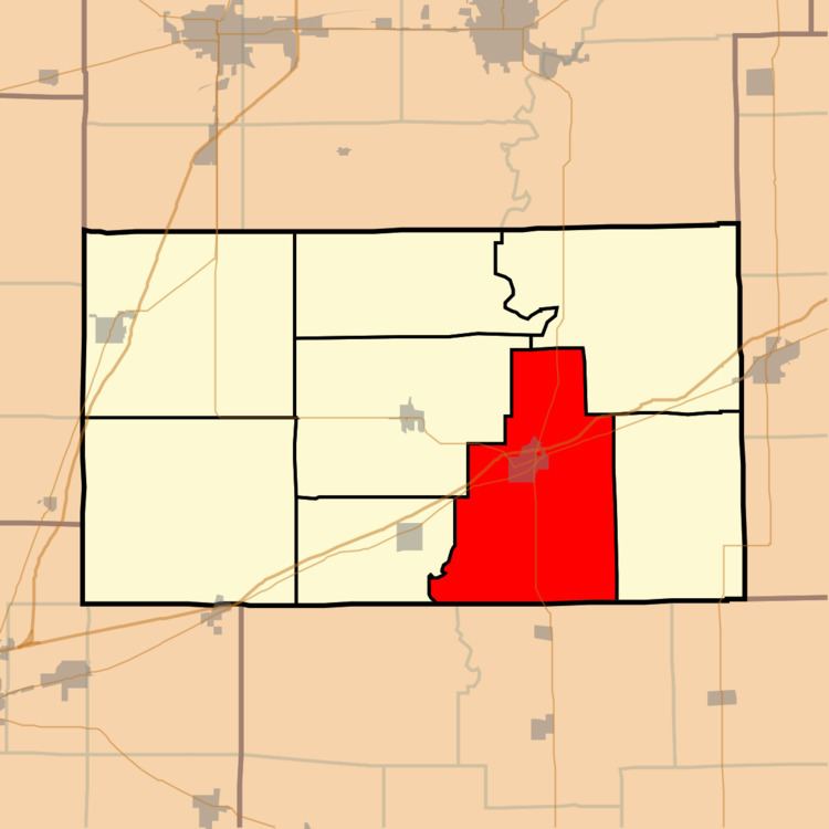
- Map of Greenup Township IL USA
- Geography
- Cities towns villages
- Unincorporated towns
- Cemeteries
- Major highways
- School districts
- Political districts
- References
Map of Greenup Township, IL, USA
Geography
According to the 2010 census, the township has a total area of 47.47 square miles (122.9 km2), of which 47.43 square miles (122.8 km2) (or 99.92%) is land and 0.03 square miles (0.078 km2) (or 0.06%) is water. The Embarras River defines a portion of the township's western border.
Cities, towns, villages
Unincorporated towns
Cemeteries
The township contains these seven cemeteries: Block, Boots, Greenup, Harmony, Liberty Hill, Paul and Peach Orchard.
Major highways
School districts
Political districts
References
Greenup Township, Cumberland County, Illinois Wikipedia(Text) CC BY-SA