
Country United States Time zone CST (UTC-6) Area 46.75 km² Population 997 (2010) | Established November 6, 1849 Elevation 179 m Local time Thursday 8:17 PM | |
 | ||
ZIP codes 60407, 60424, 60474, 60961 Weather 3°C, Wind NE at 11 km/h, 66% Humidity | ||
Greenfield Township is one of seventeen townships in Grundy County, Illinois, USA. As of the 2010 census, its population was 997 and it contained 441 housing units.
Contents
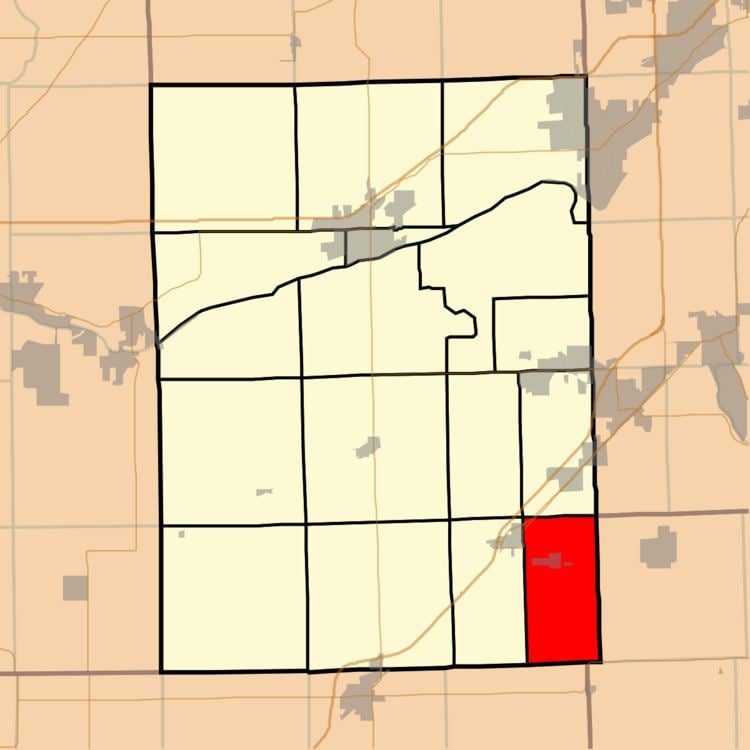
- Map of Greenfield Township IL USA
- History
- Geography
- Cities towns villages
- Major highways
- School districts
- Political districts
- References
Map of Greenfield Township, IL, USA
History
The Township of Greenfield was organized on 6 November 1849, the Village of East Brooklyn was organized in ____, and the Village of South Wilmington was organized in ____. Villages remain part of the township.
On 10 March 1903, Garfield Township was separated from Greenfield Township. The southeastern portion of the village of Gardner, which is located mainly within Garfield Township, is in Greenfield Township. Garfield was begun centered at an intersection in 18__ prior to the township division.
The social and economic factors which led to the division of the township in 1905 have changed. Modern transportation, technological advances and familial relationships have led to increased cohesiveness between the five main communities within the two townships in the twenty-first century. The high schools are focal points of activity for the entire area. The villages are in many respects neighborhoods within the townships.
Geography
According to the 2010 census, the township has a total area of 18.05 square miles (46.7 km2), of which 17.31 square miles (44.8 km2) (or 95.90%) is land and 0.73 square miles (1.9 km2) (or 4.04%) is water.