
Country United States Time zone CST (UTC-6) Elevation 181 m Zip code 60424 Population 1,586 (2010) | Established March 10, 1903 GNIS feature ID 0429042 Area 47.01 km² Local time Friday 11:11 AM | |
 | ||
Weather -1°C, Wind NW at 21 km/h, 33% Humidity | ||
Garfield Township is one of seventeen townships in Grundy County, Illinois, USA. As of the 2010 census, its population was 1,586 and it contained 673 housing units.
Contents
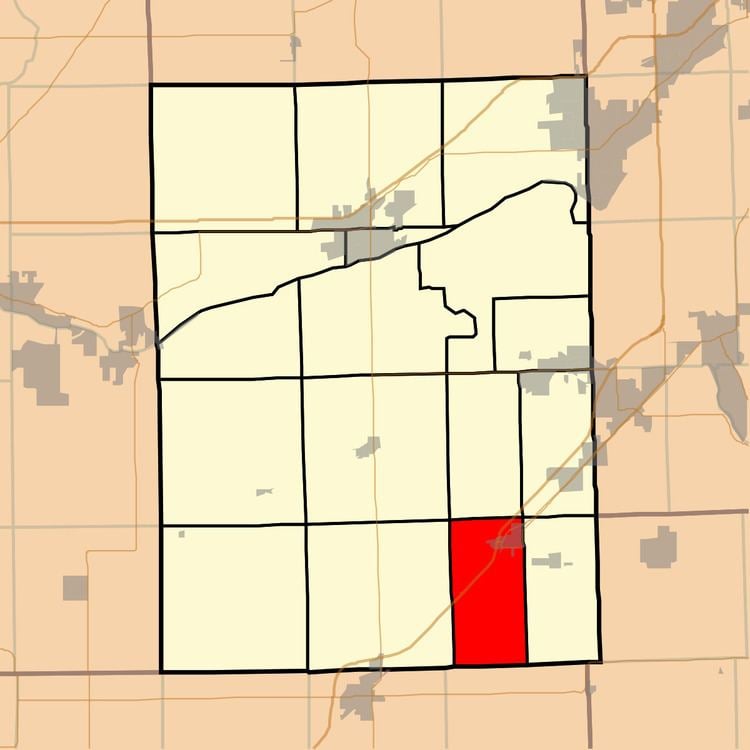
- Map of Garfield Township IL 60424 USA
- History
- Geography
- Cities towns villages
- Cemeteries
- Major highways
- School districts
- Political districts
- References
Map of Garfield Township, IL 60424, USA
History
Garfield township was formed from Greenfield township on March 10, 1903. The area contained coal mines.
Geography
According to the 2010 census, the township has a total area of 18.15 square miles (47.0 km2), of which 18.1 square miles (47 km2) (or 99.72%) is land and 0.04 square miles (0.10 km2) (or 0.22%) is water.
Cities, towns, villages
Cemeteries
The township contains Grand Prairie Lutheran Cemetery.
Major highways
School districts
Political districts
References
Garfield Township, Grundy County, Illinois Wikipedia(Text) CC BY-SA