
Country United States of America | ||
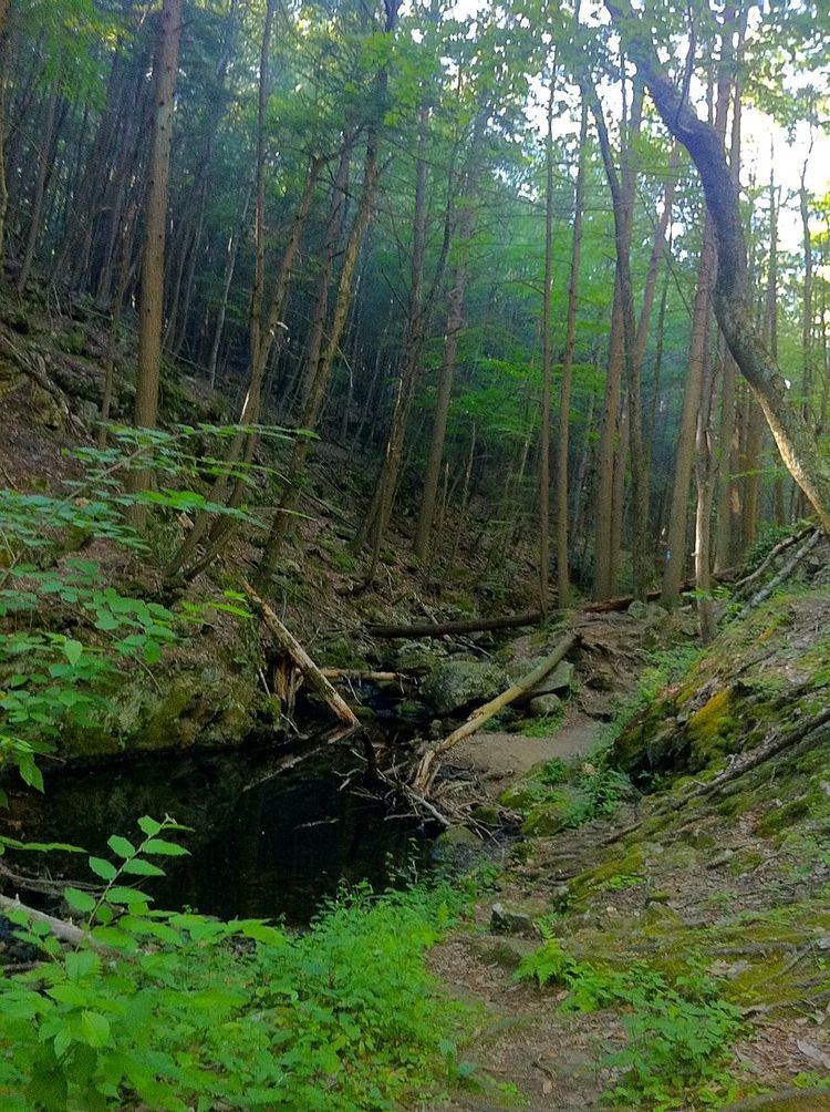 | ||
The Green Fall River is a river in the U.S. states of Connecticut and Rhode Island. It flows approximately 13 km (8 mi).
Contents
Map of Green Fall River, Connecticut, USA
Course
The river rises from a swamp south of Rockville Road (CT 138) in Voluntown. The river then flows due south to Green Fall Pond (41.531°N 71.809°W / 41.531; -71.809), then continues south through North Stonington and into Hopkinton, Rhode Island where the river converges with Parmenter Brook to form the Ashaway River.
Crossings
Below is a list of all crossings over the Green Fall River. The list starts at the headwaters and goes downstream.
Tributaries
In addition to many unnamed tributaries, the following brooks also feed the Green Fall:
References
Green Fall River Wikipedia(Text) CC BY-SA